
Spots in San Francisco, photographed by the people who stood there.
Every pin in San Francisco is a real photograph, pinned about where it was taken, clustered around Haight-Ashbury, Inner Richmond and Castro District — not a business listing, not a scraped review. 473 spots so far, and the kind of corners, viewpoints, and streets people photograph but guidebooks miss.
Every dot is a real photo someone took in San Francisco, pinned where it was taken. Get the app to open the live, tappable map.
Map tiles © OpenStreetMap contributors · OpenFreeMap · OpenMapTiles
San Francisco on Photerra — the quick numbers: 473 real photo-spots, mapped where they were taken · mapped by 18 travelers · most-photographed area: Haight-Ashbury (118 photos) · newest spot added September 2026.
Haight-Ashbury
118 photo spots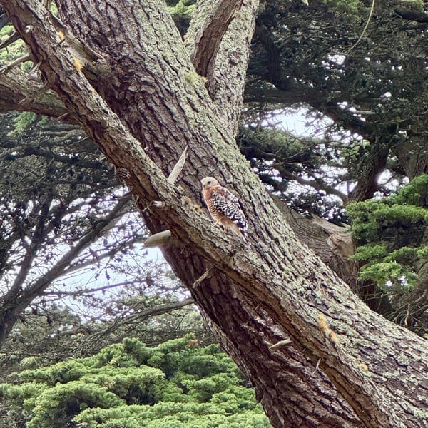
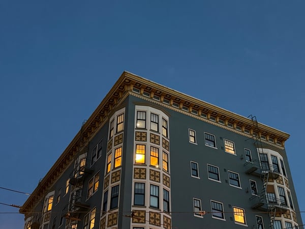
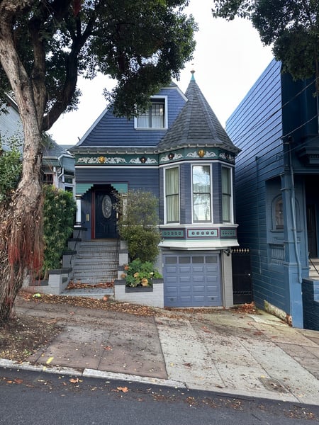
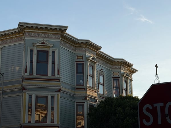
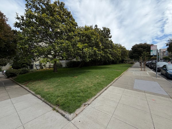
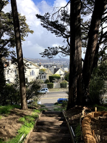
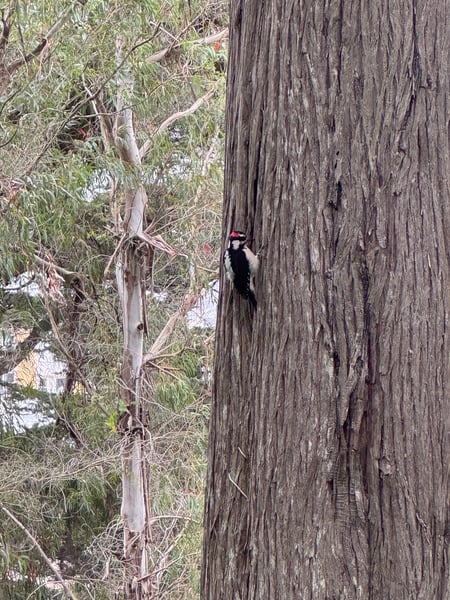
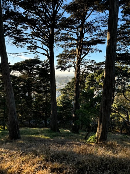
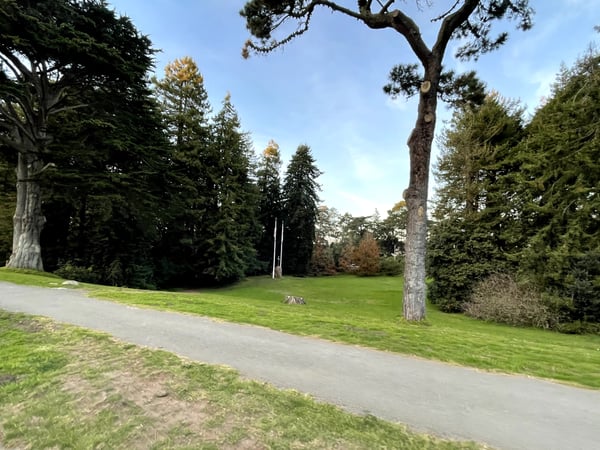
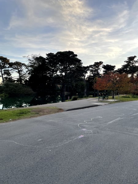
Underrated outdoor space just off of Haight-Ashbury. Enjoy a serene walk through a park with towering trees and open green spaces, perfect for relaxation and reflection.
— David
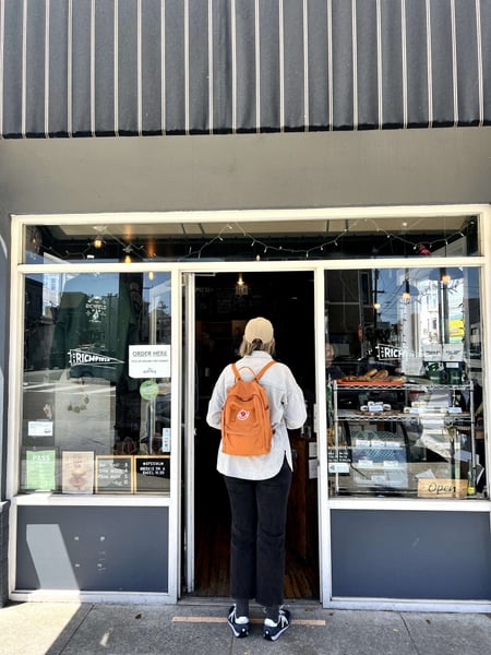
Go visit Zaid and get a bag of coffee good morning:)
— a Photerra traveler
Photo descriptions are written by a model from the photograph itself; the place names and coordinates are not.
Inner Richmond
70 photo spots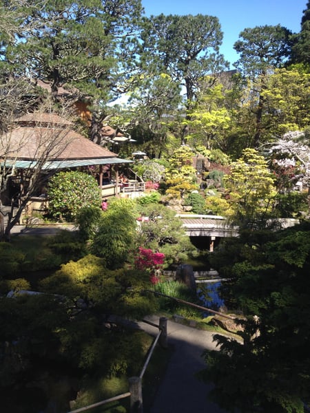
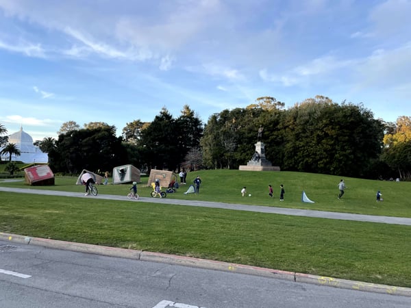
Known as Three Gems, or the Turrell Skyspace, find the hidden entrance to this small tunnel with an art exhibit on the other side.
— Bryce
There are some easy and free exhibits outside of the museum. Inside, check out the observation deck that is open to the public!
— Bryce
Photo descriptions are written by a model from the photograph itself; the place names and coordinates are not.
Castro District
56 photo spots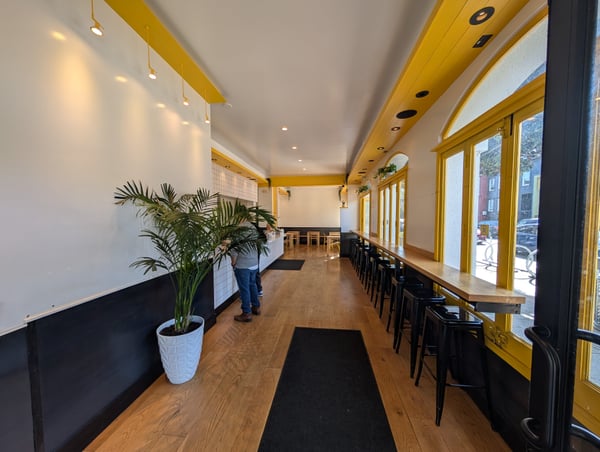
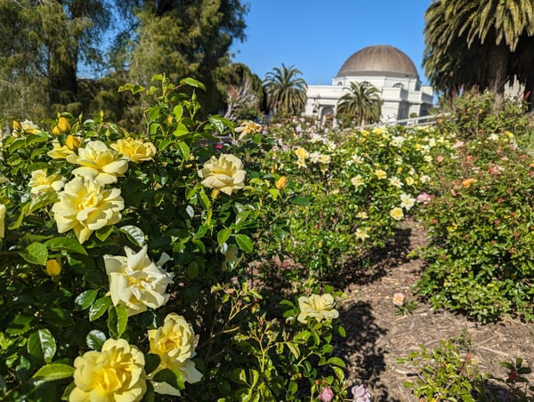
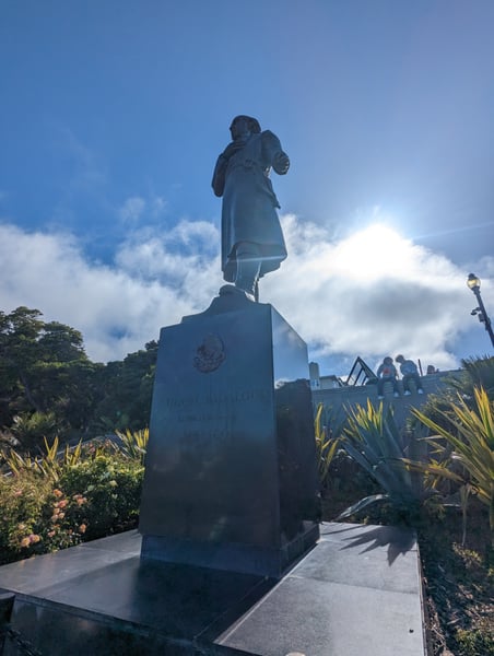
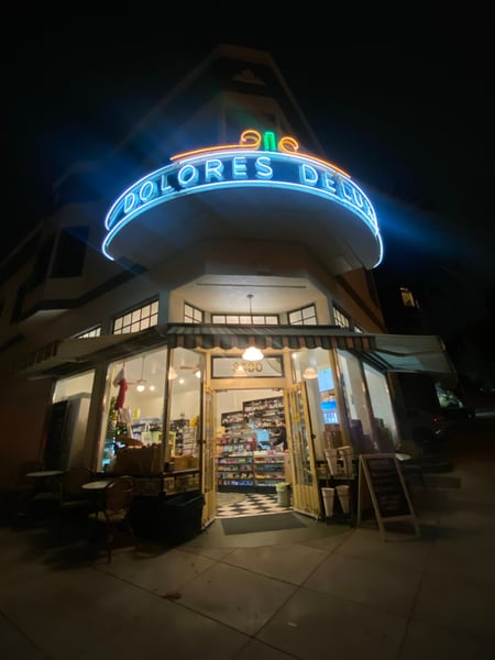
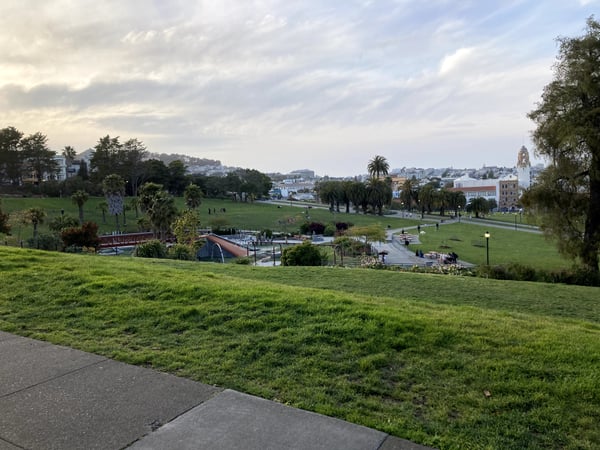
The Light House. Cool apartment building on the boarder of Dolores Park. You can't go inside but you wont miss it when visiting Dolores Park
— Bryce
Some easy to get to viewpoints in various parks, and one of sf’s classic hidden staircases
— David
Photo descriptions are written by a model from the photograph itself; the place names and coordinates are not.
Midtown Terrace
24 photo spots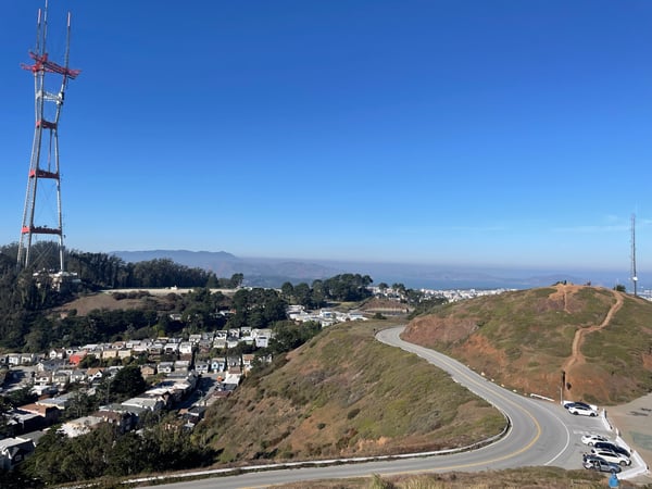
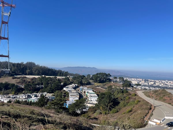
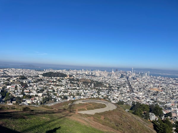
Photo descriptions are written by a model from the photograph itself; the place names and coordinates are not.
Muir Beach
24 photo spots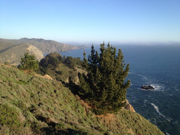
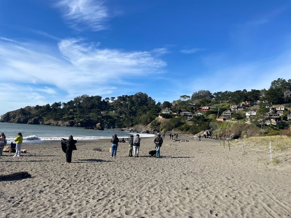
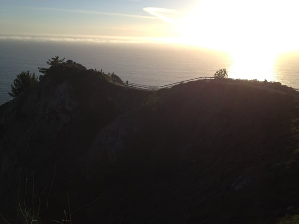
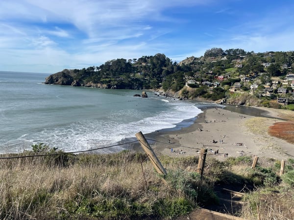
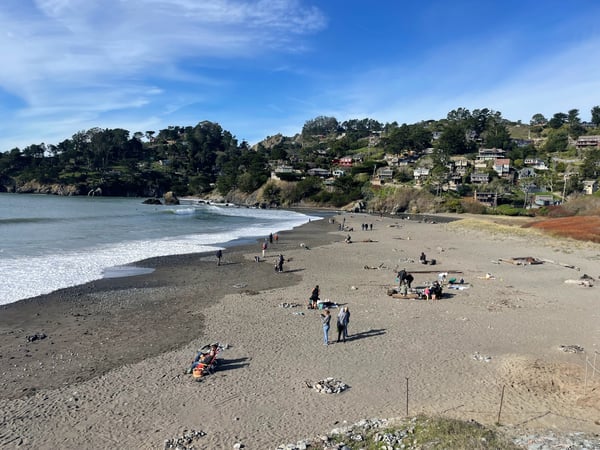
Photo descriptions are written by a model from the photograph itself; the place names and coordinates are not.
Inner Sunset
81 photo spots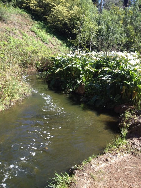
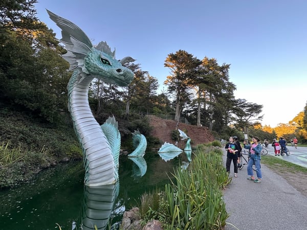
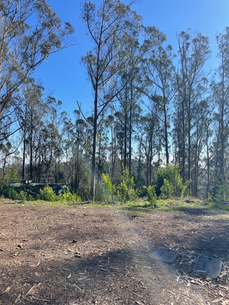
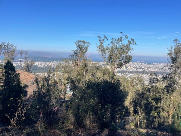
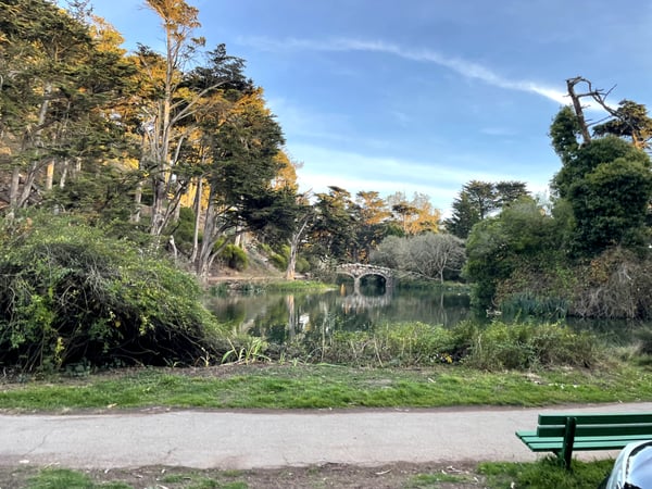
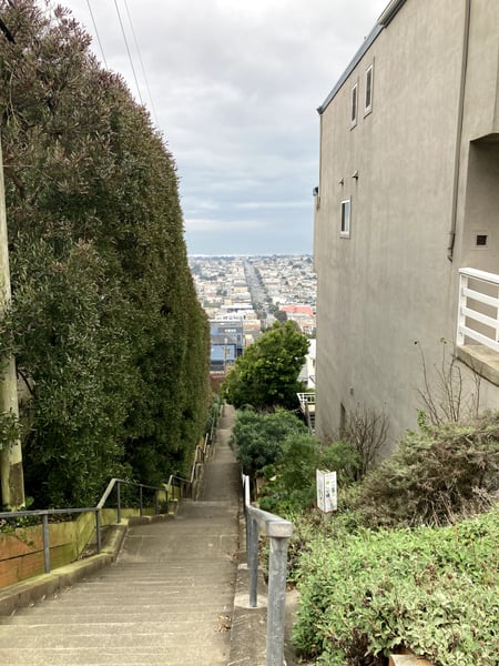
Photo descriptions are written by a model from the photograph itself; the place names and coordinates are not.
Outer Richmond
24 photo spots
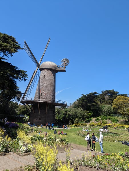
These windmills used to pump water throughout the park. Now they sit there and lose a shingle here and there
— Bryce
Photo descriptions are written by a model from the photograph itself; the place names and coordinates are not.
Across San Francisco
207 photo spots
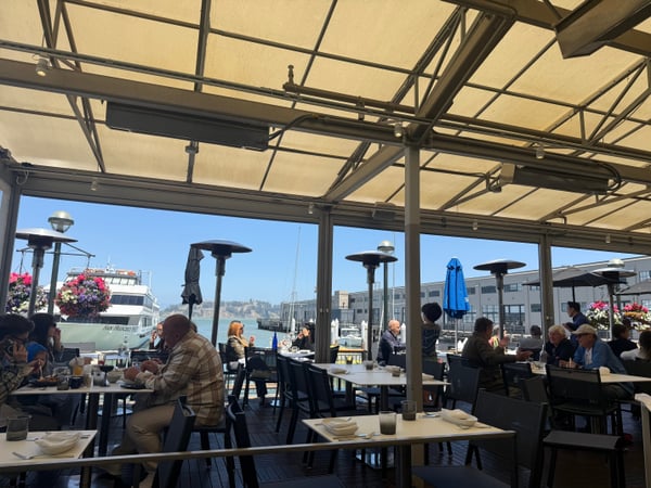
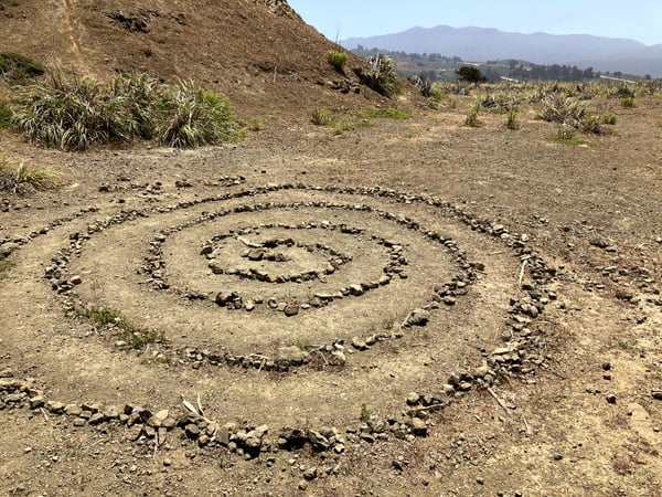
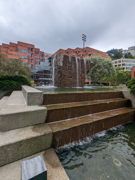
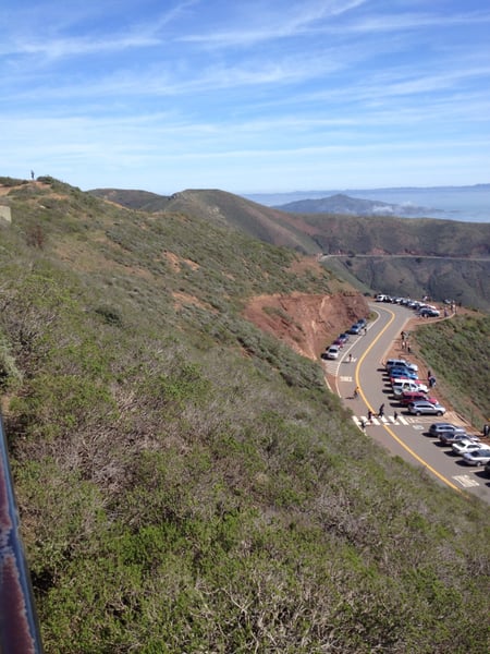
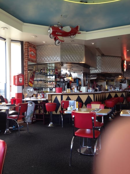
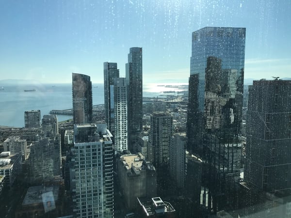
Enjoy the newspaper decor in the basement haunt. We got there pretty early so the place was nearly empty, but it does fill up especially if they have live music that evening.
— Bryce
Hila gelato caffè. Sicilian gelato, coffee, desserts. Women LGBT owned. Music events. Gelato Making Classes.
— Ceci
Photo descriptions are written by a model from the photograph itself; the place names and coordinates are not.
Landmarks on the map in San Francisco.
From the landmarks everyone knows to the corners nobody thought to list — real places, each with the photograph someone actually took — contributed by travellers and by the openly-licensed archive, and growing as more are added.
Coordinates are about where the photograph was taken — the medoid of this place’s pins, at 4 decimals (~11 m). Approximate by design, and not an official gazetteer position.
Plus 427+ more spots across San Francisco — see every pin on the live map in the app, or browse all destinations.
San Francisco spots, the quick version.
How many spots does Photerra have in San Francisco?
473 and counting — each one a real photograph, pinned about where it was taken. The map grows as people add to it and as the open archive is reviewed in.
Are these San Francisco spots on Google Maps?
Many aren't. Photerra's spots are photo-coordinates — viewpoints, benches, trailheads and corners with no business listing or address — so they don't show up on maps built from business directories.
How do I get to a spot with no address?
Open any spot in the Photerra app and tap once to launch Apple Maps, Google Maps, Uber or Lyft — we hand them the coordinates even when the place has no name.
Get the San Francisco map in your pocket.
Free on iOS and Android. Browse every spot, filter by time of day — including golden hour — and let the AI build a day-by-day trip around the ones you like.
Live in San Francisco? Your camera roll is already a map — become one of its founding mappers.