United States · real traveler photos

Spots in Big Sur & the Highway 1 Coast, photographed by the people who stood there.

Big Sur & the Highway 1 Coast on Photerra is 91 real photographs, each pinned where the photographer actually stood, clustered around Pacific Grove — the pull-off before the famous view, the trailhead bench, the bend in the road everyone stops at. No listings, no filler.

91real spots, mapped where taken
1area to explore

Every dot is a real photo someone took in Big Sur & the Highway 1 Coast, pinned where it was taken. Get the app to open the live, tappable map.

Map tiles © OpenStreetMap contributors · OpenFreeMap

Big Sur & the Highway 1 Coast on Photerra — the quick numbers: 91 real photo-spots, mapped where they were taken · most-photographed area: Pacific Grove (27 photos) · newest spot added July 2026.

Across Big Sur & the Highway 1 Coast

91 photo spots
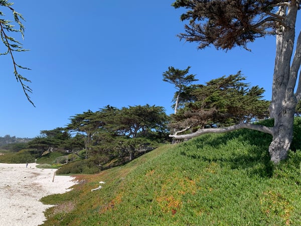
Iconic Monterey cypress trees frame a residential street in Carmel-by-the-Sea with modern coastal architecture and… — Big Sur & the Highway 1 Coast
Iconic Monterey cypress trees frame a residential street in Carmel-by-the-Sea with modern coastal architecture and…Golden Rectangle
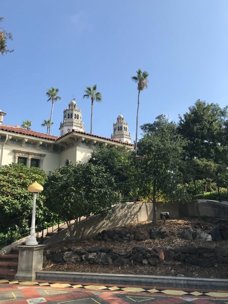
Ornate Roman-style indoor pool with blue mosaic tiles, gilded columns, and coffered ceiling at Hearst Castle. — Big Sur & the Highway 1 Coast
Ornate Roman-style indoor pool with blue mosaic tiles, gilded columns, and coffered ceiling at Hearst Castle.Cambria
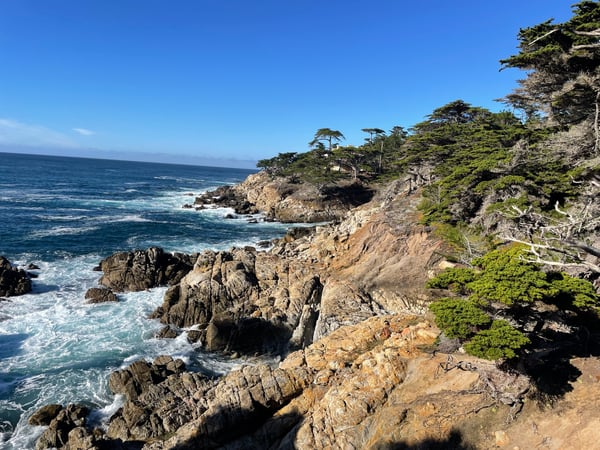
Windswept cypress tree on rocky coastal bluff overlooking the Pacific Ocean at Lone Cypress Point Lookout. — Big Sur & the Highway 1 Coast
Windswept cypress tree on rocky coastal bluff overlooking the Pacific Ocean at Lone Cypress Point Lookout.
A gray whale surfacing in coastal waters near Monterey, California, with seabirds gathering nearby. — Big Sur & the Highway 1 Coast
A gray whale surfacing in coastal waters near Monterey, California, with seabirds gathering nearby.
Interior of an ornate gothic dining hall with carved wooden ceiling, hanging brass lanterns, and heraldic banners at… — Big Sur & the Highway 1 Coast
Interior of an ornate gothic dining hall with carved wooden ceiling, hanging brass lanterns, and heraldic banners at…San Simeon
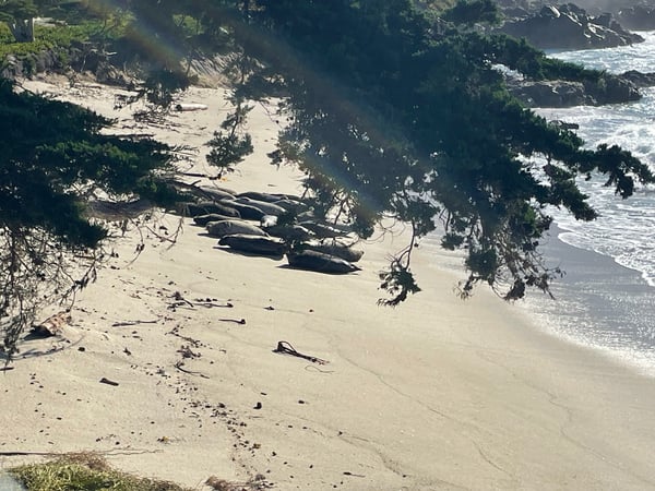
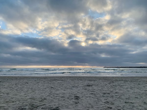
Sandy beach with driftwood and rocky outcrops viewed from Sunset Point Overlook, with waves and coastal cliffs visible. — Big Sur & the Highway 1 Coast
Sandy beach with driftwood and rocky outcrops viewed from Sunset Point Overlook, with waves and coastal cliffs visible.
Bioluminescent red jellyfish photographed underwater in Monterey Bay, California. — Big Sur & the Highway 1 Coast
Bioluminescent red jellyfish photographed underwater in Monterey Bay, California.Cannery Row
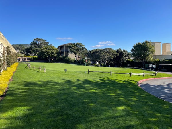
A manicured public park with open green lawn, wooden fencing, and surrounding trees under clear skies in Del Monte… — Big Sur & the Highway 1 Coast
A manicured public park with open green lawn, wooden fencing, and surrounding trees under clear skies in Del Monte…Shops At The Lodge
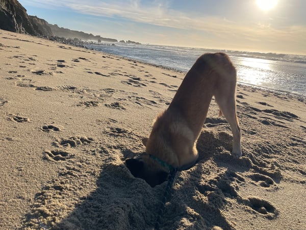
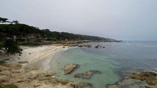
A dog digging in sand on a California coastal beach with rocky cliffs and breaking waves in the background. — Big Sur & the Highway 1 Coast
A dog digging in sand on a California coastal beach with rocky cliffs and breaking waves in the background.Cabrillo Highway
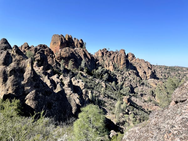
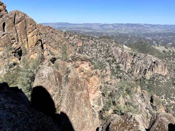
Dramatic granite rock formations and forested valleys viewed from High Peaks Trail in Pinnacles National Park… — Big Sur & the Highway 1 Coast
Dramatic granite rock formations and forested valleys viewed from High Peaks Trail in Pinnacles National Park…
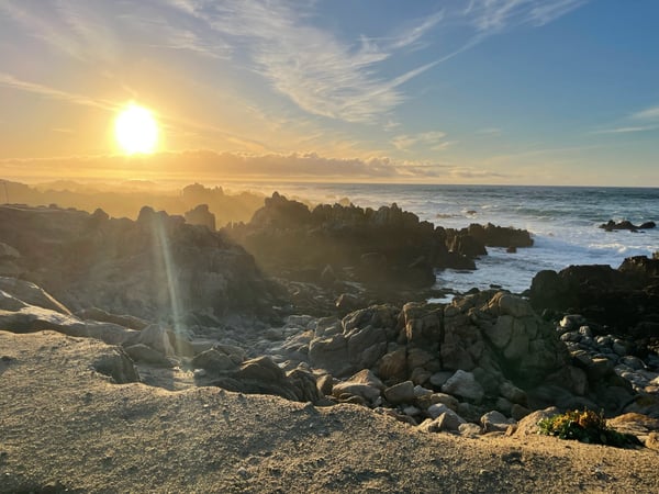
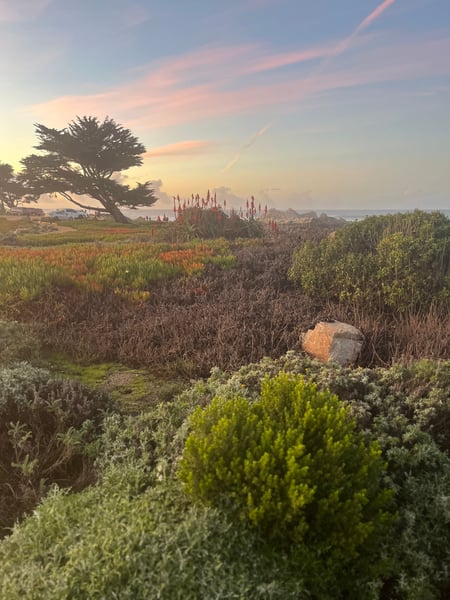
Sunset over the Pacific Ocean from rocky coastal bluffs in Pacific Grove, with beachgoers on the sand below. — Big Sur & the Highway 1 Coast
Sunset over the Pacific Ocean from rocky coastal bluffs in Pacific Grove, with beachgoers on the sand below.
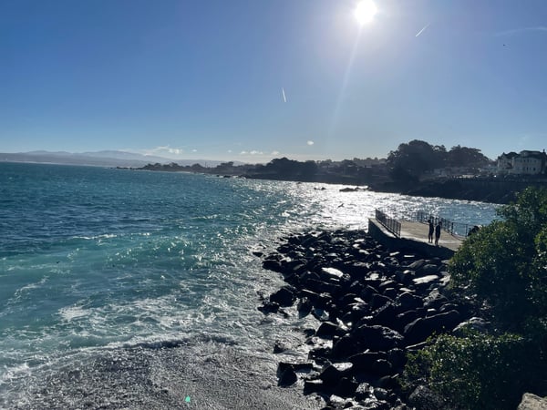
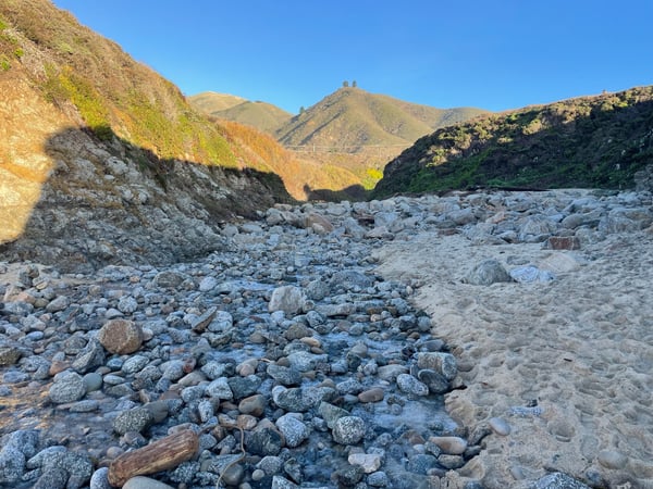
Rocky riverbed with sandy banks framed by arid hillsides under clear blue sky. — Big Sur & the Highway 1 Coast
Rocky riverbed with sandy banks framed by arid hillsides under clear blue sky.Notleys Landing

What travelers shoot here: scenic views · landmarks · landscapes · architecture.

On the map

Landmarks on the map in Big Sur & the Highway 1 Coast.

From the landmarks everyone knows to the corners nobody thought to list — real places the community has pinned, each with the photograph the traveler actually took, and growing as more share them.

Pebble Beach 23 spots Hearst Castle 9 spots Lone Cypress Point Lookout 5 spots Garrapata Beach 4 spots Cambria 2 spots Lovers Point Park 2 spots Crespi Pond 2 spots Bixby Bridge 1 spot Garrapata Trail 1 spot Carmel Beach 1 spot Sunset Point Overlook 1 spot Alisomar State Marine Reserve 1 spot High Peaks Trail 1 spot Pinnacles National Park 1 spot

Plus 79+ more spots across Big Sur & the Highway 1 Coast — see every pin on the live map in the app, or browse all destinations.

Good to know

Big Sur & the Highway 1 Coast spots, the quick version.

How many spots does Photerra have in Big Sur & the Highway 1 Coast?

91 and counting — each one a real photo pinned where it was taken. New spots appear as travelers share them.

Are these Big Sur & the Highway 1 Coast spots on Google Maps?

Many aren't. Photerra's spots are photo-coordinates — viewpoints, benches, trailheads and corners with no business listing or address — so they don't show up on maps built from business directories.

How do I get to a spot with no address?

Open any spot in the Photerra app and tap once to launch Apple Maps, Google Maps, Uber or Lyft — we hand them the coordinates even when the place has no name.
Get the Big Sur & the Highway 1 Coast map in your pocket.

Free on iOS and Android. Browse every spot, filter by time of day — including golden hour — and let the AI build a day-by-day trip around the ones you like.

Live in Big Sur & the Highway 1 Coast? Your camera roll is already a map — become one of its founding mappers.