
Spots in Mammoth Lakes & the Eastern Sierra, photographed by the people who stood there.
In Mammoth Lakes & the Eastern Sierra, the map is overlooks, trailheads, and pull-offs — 33 real photographs, each pinned about where it was taken, clustered around Mammoth Lakes. Not business listings, not a recycled top-10: just where someone pointed a camera.
Every dot is a real photo someone took in Mammoth Lakes & the Eastern Sierra, pinned where it was taken. Get the app to open the live, tappable map.
Map tiles © OpenStreetMap contributors · OpenFreeMap · OpenMapTiles
Mammoth Lakes & the Eastern Sierra on Photerra — the quick numbers: 33 real photo-spots, mapped where they were taken · mapped by 6 travelers · most-photographed area: Mammoth Lakes (8 photos) · newest spot added September 2026.
Across Mammoth Lakes & the Eastern Sierra
30 photo spots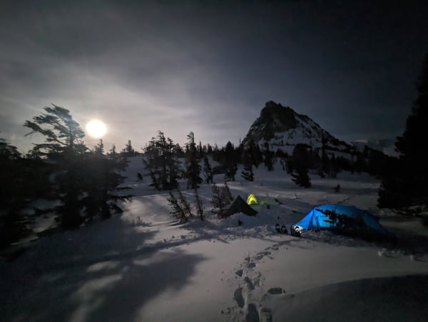
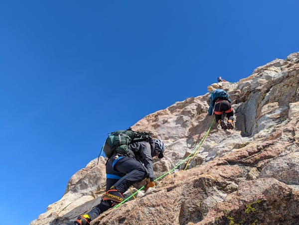
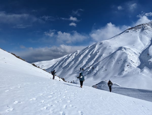
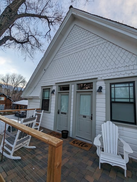
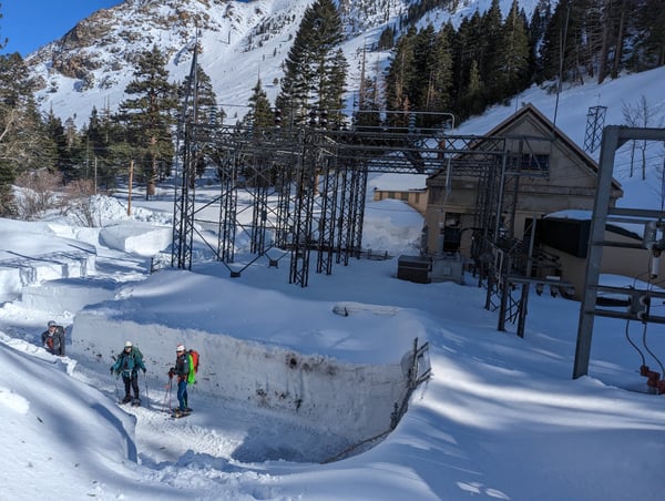
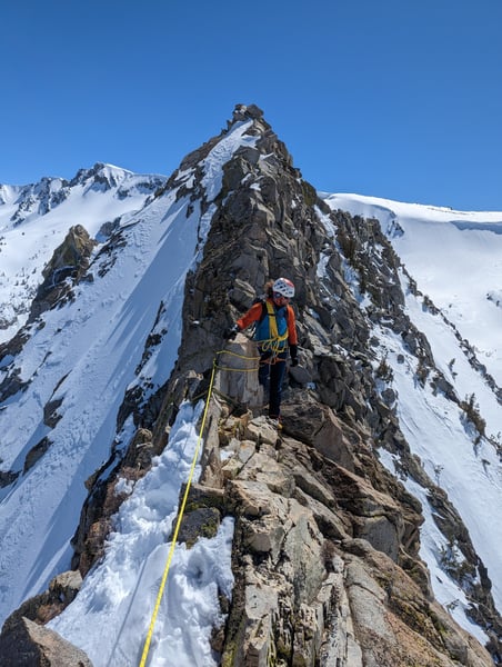
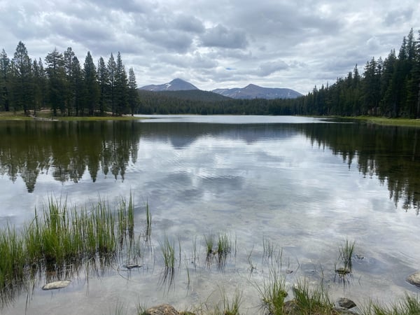
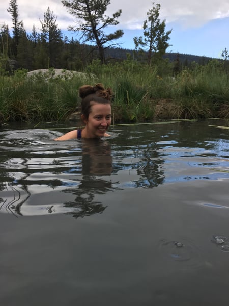
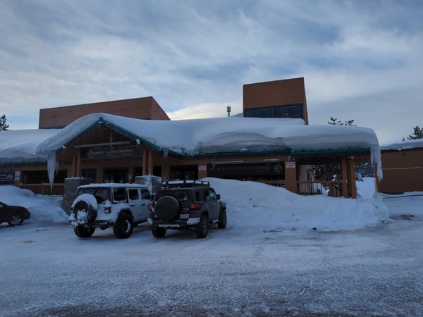
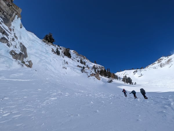
One of only a couple reliable ice walls in the Eastern Sierra, this is where Yvon Chouinard developed the modern shape of ice tools tp allow climbing on steeper faces
— Bryce
Snowboarding above my skill level at Mammoth Mountain
— Kristen
Photo descriptions are written by a model from the photograph itself; the place names and coordinates are not.
Landmarks on the map in Mammoth Lakes & the Eastern Sierra.
From the landmarks everyone knows to the corners nobody thought to list — real places, each with the photograph someone actually took — contributed by travellers and by the openly-licensed archive, and growing as more are added.
Coordinates are about where the photograph was taken — the medoid of this place’s pins, at 4 decimals (~11 m). Approximate by design, and not an official gazetteer position.
Plus 21+ more spots across Mammoth Lakes & the Eastern Sierra — see every pin on the live map in the app, or browse all destinations.
Mammoth Lakes & the Eastern Sierra spots, the quick version.
How many spots does Photerra have in Mammoth Lakes & the Eastern Sierra?
33 and counting — each one a real photograph, pinned about where it was taken. The map grows as people add to it and as the open archive is reviewed in.
Are these Mammoth Lakes & the Eastern Sierra spots on Google Maps?
Many aren't. Photerra's spots are photo-coordinates — viewpoints, benches, trailheads and corners with no business listing or address — so they don't show up on maps built from business directories.
How do I get to a spot with no address?
Open any spot in the Photerra app and tap once to launch Apple Maps, Google Maps, Uber or Lyft — we hand them the coordinates even when the place has no name.
Get the Mammoth Lakes & the Eastern Sierra map in your pocket.
Free on iOS and Android. Browse every spot, filter by time of day — including golden hour — and let the AI build a day-by-day trip around the ones you like.
Live in Mammoth Lakes & the Eastern Sierra? Your camera roll is already a map — become one of its founding mappers.