
Spots in Philadelphia, photographed by the people who stood there.
Philadelphia here isn't a top-10 list — it's 150 real photographs, each pinned where it was taken, clustered around Center City, South Philadelphia and North Philadelphia. Stairways, murals, rooftops, quiet corners: the places people actually photograph, mapped by the people who did.
Every dot is a real photo someone took in Philadelphia, pinned where it was taken. Get the app to open the live, tappable map.
Map tiles © OpenStreetMap contributors · OpenFreeMap · OpenMapTiles
Philadelphia on Photerra — the quick numbers: 150 real photo-spots, mapped where they were taken · mapped by 3 travelers · most-photographed area: Center City (112 photos) · newest spot added August 2026.
Center City
112 photo spots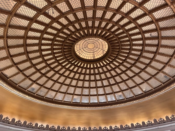
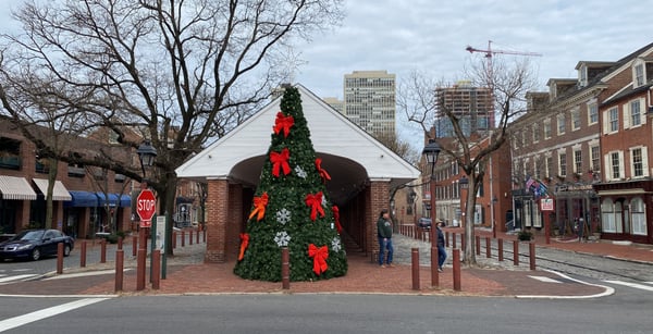
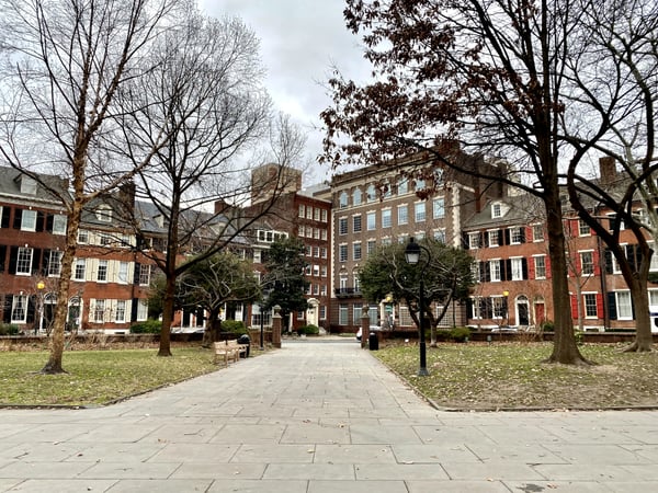
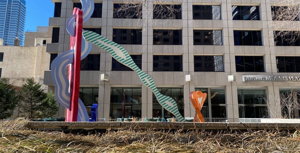
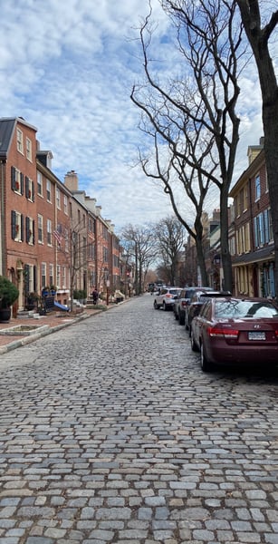
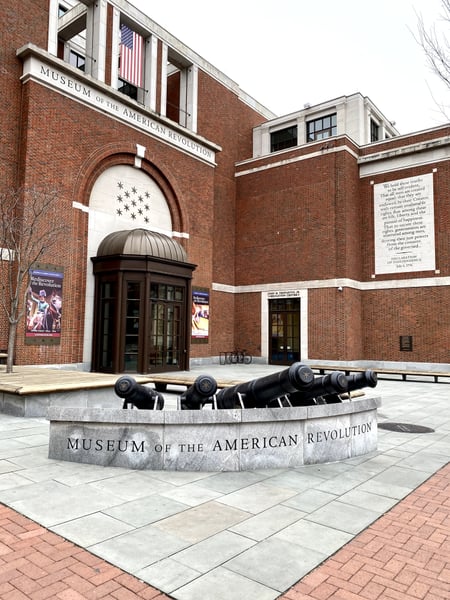
The head house is a national historic landmark, one of the oldest colonial markets in America. Built in 1745, the covered colonnade marketplace was called “the shambles“. At the north end, a three-story fire house known as “the Head House“ was built in 1805. It’s located at the south end of society hill near South Street. On Sundays, there’s a year-round farmers market. Other events are sometimes held, and some of the restaurants on the west side sometimes use the space for outdoor dining
— VirtualTikiTom
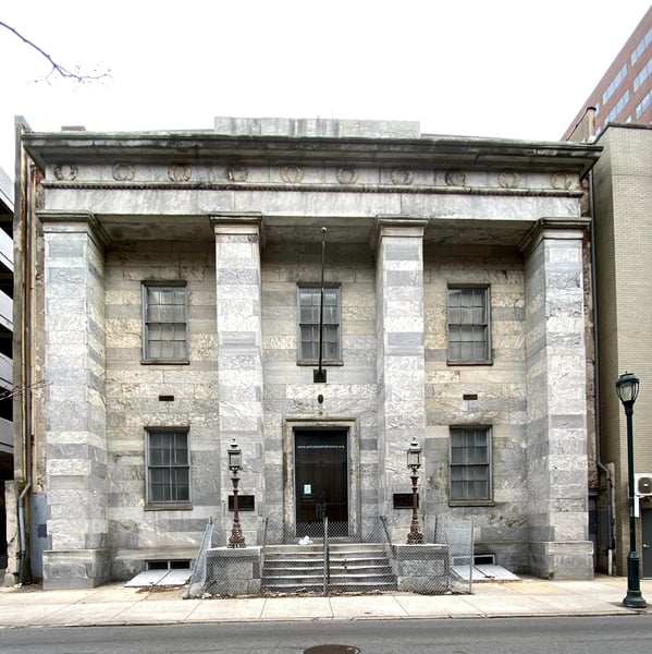
The Atwater Kent Museum was the museum of the city of Philadelphia. Sadly, throughout the museum’s history the city never committed the funding needed. At best it was not well curated and did not tell a cohesive story. A couple of years ago the court approved sale of all the museums property to Drexel University. This property is closed off and seemjngly abandoned now. A little known fact is that this building was the original home to the Franklin Institute.
— VirtualTikiTom
Photo descriptions are written by a model from the photograph itself; the place names and coordinates are not.
South Philadelphia
71 photo spots
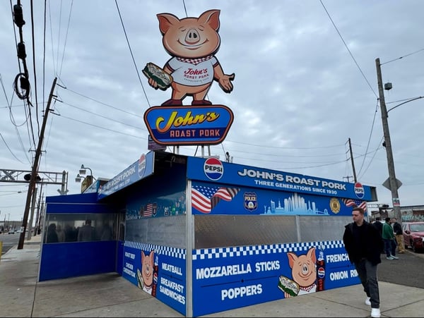
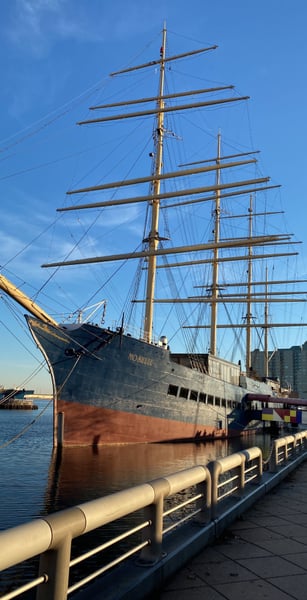
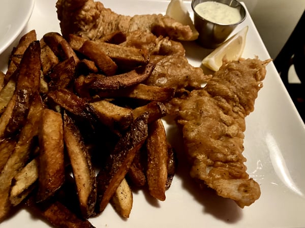
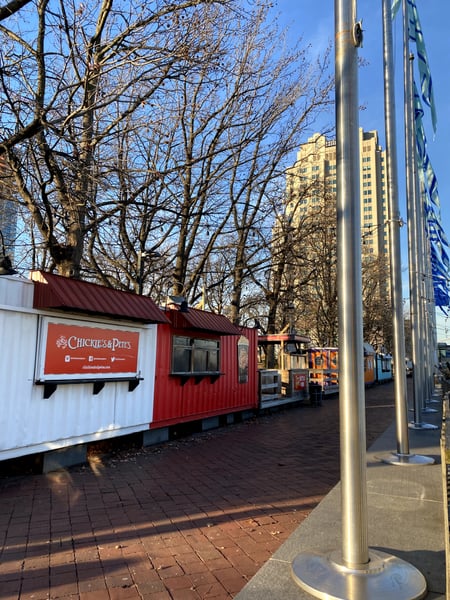
“A Philadelphia tradition since 1921“. Termini Bros is one of the old school Philadelphia Italian bakeries in Philadelphia, and one of the oldest surviving bakeries in the country. This is their original location and they have several outposts, including in the Reading Terminal Market. When I visited, there was a tour bus out front. The shop is gorgeous and the offerings are good. Personally, I prefer Isgro Pastries on Christian Street, but that’s probably as controversial as picking the best cheesesteak. (Hint, it’s Angelo’s, or John’s Philadelphia Roast Pork.)
— VirtualTikiTom
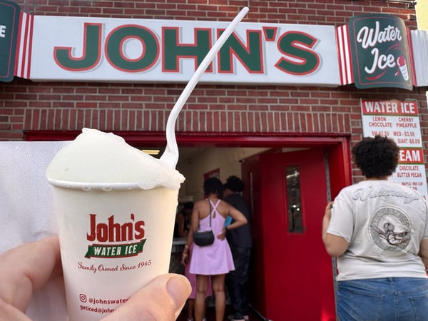
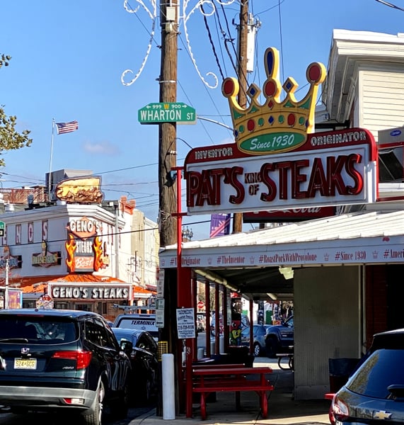
John’s roast pork, since 1930, without argument, makes one of the best roast pork sandwiches in the city. This is arguably what true locals get rather than a cheesesteak. Although their cheesesteaks are always ranked as one of the best too (check with a local on how to order so you don’t look like a rube.). Recently awarded a Michelin ‘Bib Gormand’ ranking on top of numerous other awards.
— VirtualTikiTom
Photo descriptions are written by a model from the photograph itself; the place names and coordinates are not.
North Philadelphia
21 photo spots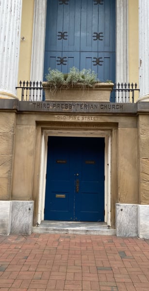
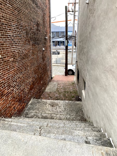
A fascinating bit of history. In the early days of Philadelphia going “down to the river” was really going down! These steps from Fromt St to Water St took you to the river edge. Note in the photo that its now a fair distance to Columbus Blvd, beyond which the riverfront and piers were by the later 18-early 1900s.
— VirtualTikiTom
Dating back in the 1700s. There are a few old churches in the neighborhood here with old burial grounds. I’m not sure if this is a church or a community center nowadays. You can see in the photos that day to offer a tour map.
— VirtualTikiTom
Photo descriptions are written by a model from the photograph itself; the place names and coordinates are not.
Southwest Philadelphia
6 photo spots
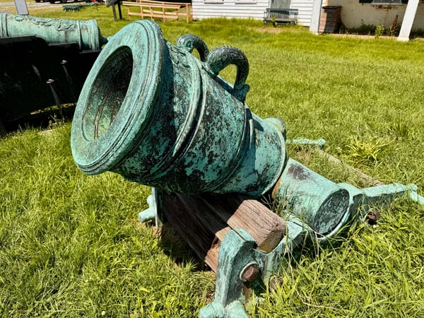
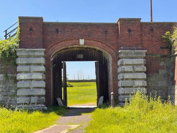
Photo descriptions are written by a model from the photograph itself; the place names and coordinates are not.
Across Philadelphia
13 photo spots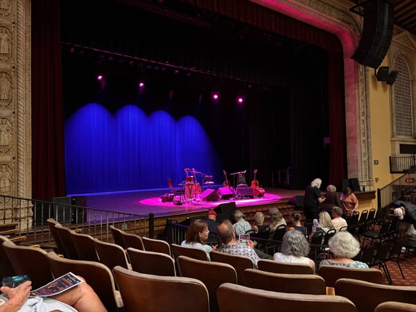
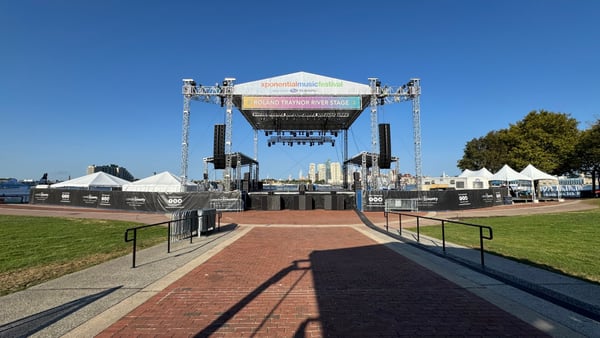
You’ve got to know this place is there to find it. Washington Avenue Pier, located along the river at the intersection of Washington Avenue and Columbus Boulevard opened in 2014 as the second park to be completed by DRWC. The design of Washington Avenue Pier honors its evolving role on the waterfront from shipbuilding center to port-of-entry to naturalized finger pier. As with all Waterfront sites, Washington Avenue Pier has a complex history. It it located near the site of the nation's first Navy yard and was Philadelphia's immigration station, which welcomed over 1 million new Americans from the 1870’s through the First World War. In honor of this history, Jody Pinto created "Land Buoy",…
— VirtualTikiTom
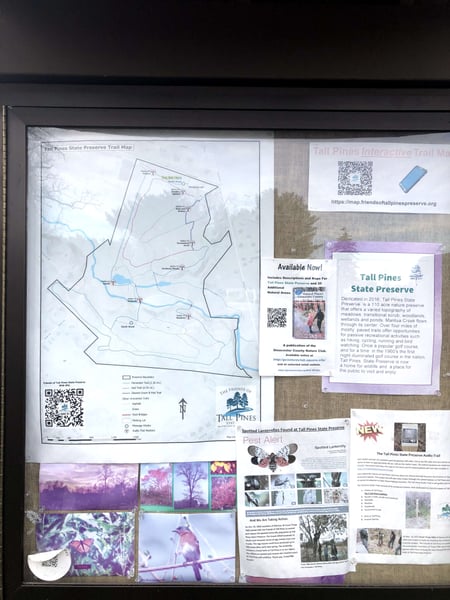
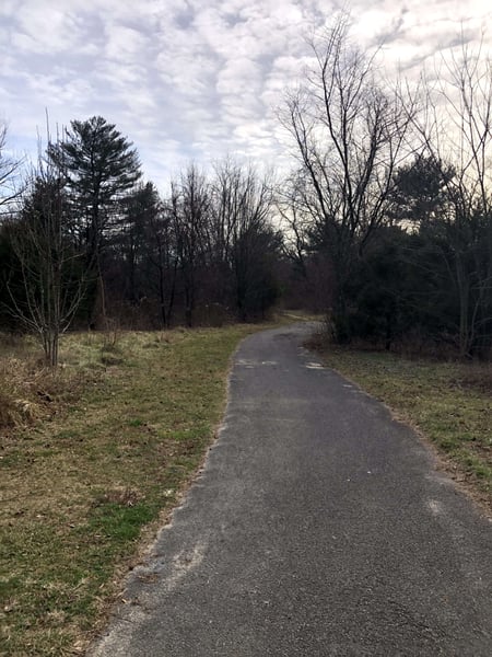
Former golf course in the fifties sixties has paved paths and also trails interactive map QR codes with you tube videos and good historical environmental info.
— MusiCary
Photo descriptions are written by a model from the photograph itself; the place names and coordinates are not.
Landmarks on the map in Philadelphia.
From the landmarks everyone knows to the corners nobody thought to list — real places, each with the photograph someone actually took — contributed by travellers and by the openly-licensed archive, and growing as more are added.
Coordinates are about where the photograph was taken — the medoid of this place’s pins, at 4 decimals (~11 m). Approximate by design, and not an official gazetteer position.
Plus 122+ more spots across Philadelphia — see every pin on the live map in the app, or browse all destinations.
Philadelphia spots, the quick version.
How many spots does Photerra have in Philadelphia?
150 and counting — each one a real photograph, pinned about where it was taken. The map grows as people add to it and as the open archive is reviewed in.
Are these Philadelphia spots on Google Maps?
Many aren't. Photerra's spots are photo-coordinates — viewpoints, benches, trailheads and corners with no business listing or address — so they don't show up on maps built from business directories.
How do I get to a spot with no address?
Open any spot in the Photerra app and tap once to launch Apple Maps, Google Maps, Uber or Lyft — we hand them the coordinates even when the place has no name.
Get the Philadelphia map in your pocket.
Free on iOS and Android. Browse every spot, filter by time of day — including golden hour — and let the AI build a day-by-day trip around the ones you like.
Live in Philadelphia? Your camera roll is already a map — become one of its founding mappers.