Puerto Rico · real traveler photos

Spots in San Juan, photographed by the people who stood there.

Every pin in San Juan is a real photo at the exact coordinate a traveler stood, clustered around Viejo San Juan — not a business listing, not a scraped review. 152 spots so far, and the kind of corners, viewpoints, and streets people photograph but guidebooks miss.

152real spots, exact coordinates
1area to explore
2travelers mapping it

Every dot is a real photo someone took in San Juan, pinned to the exact coordinate. Get the app to open the live, tappable map.

Map tiles © OpenStreetMap contributors · OpenFreeMap

San Juan on Photerra — the quick numbers: 152 real photo-spots at exact coordinates · mapped by 2 travelers · most-photographed area: Viejo San Juan (126 photos) · newest spot added June 2026.

Viejo San Juan

126 photo spots
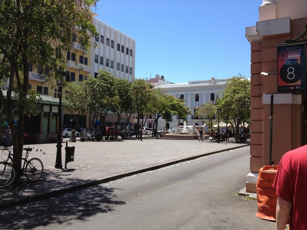
Colonial plaza in Old San Juan with historic buildings, fountain, and tree-lined square under clear sky. — Viejo San Juan, San Juan
Colonial plaza in Old San Juan with historic buildings, fountain, and tree-lined square under clear sky.201 C. de San Francisco
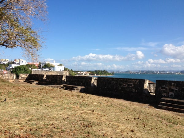
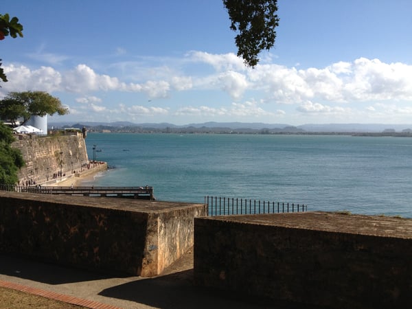
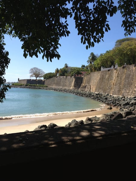
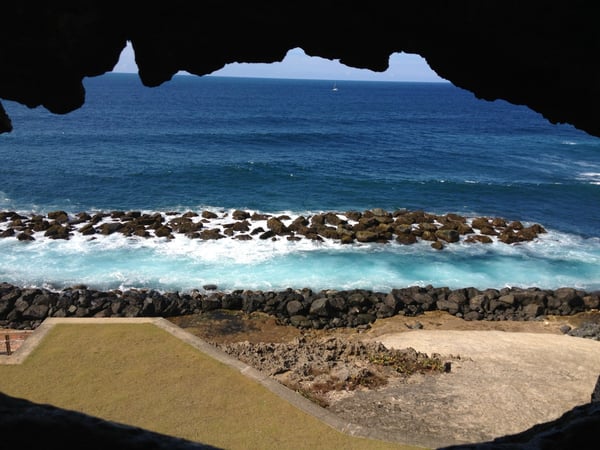
Historic stone fortification walls at P.º del Morro overlooking a rocky beach and turquoise Caribbean waters in San… — Viejo San Juan, San Juan
Historic stone fortification walls at P.º del Morro overlooking a rocky beach and turquoise Caribbean waters in San…
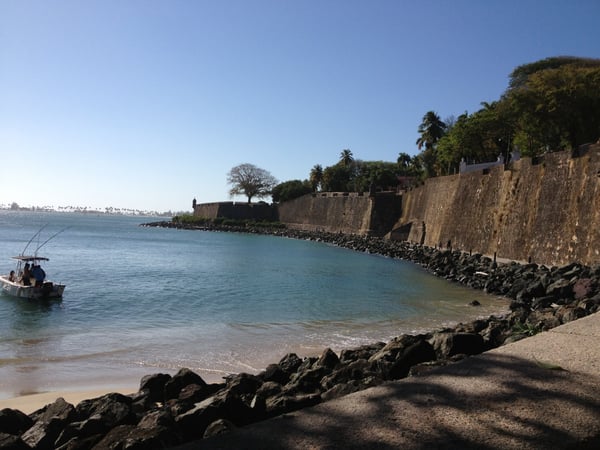
Sandy beach with moored boats viewed from a railed overlook on a clear day with cumulus clouds. — Viejo San Juan, San Juan
Sandy beach with moored boats viewed from a railed overlook on a clear day with cumulus clouds.101-103 Paseo de la Princesa
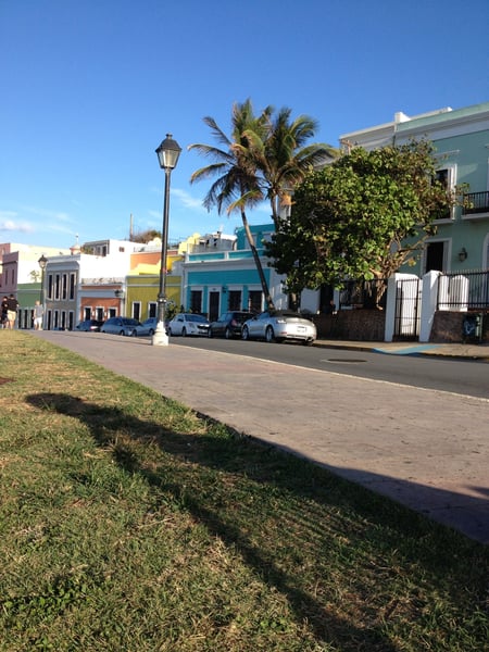
Colonial-era street in Old San Juan with colorful buildings, ornate balconies, and water view beyond. — Viejo San Juan, San Juan
Colonial-era street in Old San Juan with colorful buildings, ornate balconies, and water view beyond.Plaza Ramón Power y Giralt
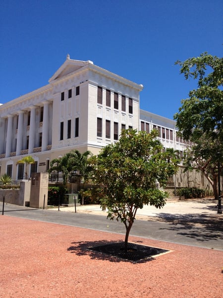
Historic colonial buildings with Spanish architecture viewed from a plaza in Old San Juan, Puerto Rico. — Viejo San Juan, San Juan
Historic colonial buildings with Spanish architecture viewed from a plaza in Old San Juan, Puerto Rico.205 C. del Recinto Sur
Narrow alleyway in Old San Juan Historic District lined with colorful colonial buildings and traditional architecture. — Viejo San Juan, San Juan
Narrow alleyway in Old San Juan Historic District lined with colorful colonial buildings and traditional architecture.
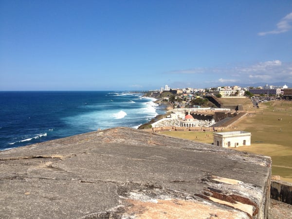
Historic fort ruins overlook a coastal shoreline with whitecapped waves and a hillside city in San Juan Antiguo, Puerto… — Viejo San Juan, San Juan
Historic fort ruins overlook a coastal shoreline with whitecapped waves and a hillside city in San Juan Antiguo, Puerto…Castillo San Felipe del Morro
Colorful hillside homes overlooking the Caribbean Sea in San Juan Antiguo, Puerto Rico. — Viejo San Juan, San Juan
Colorful hillside homes overlooking the Caribbean Sea in San Juan Antiguo, Puerto Rico.Calle Norzagaray
Illuminated pedestrian promenade at Fuente Raíces in San Juan Antiguo at night, lined with colonial architecture and… — Viejo San Juan, San Juan
Illuminated pedestrian promenade at Fuente Raíces in San Juan Antiguo at night, lined with colonial architecture and…
A pedestrian walks through a narrow colonial-era street lined with colorful buildings and ivy in Old San Juan, with… — Viejo San Juan, San Juan
A pedestrian walks through a narrow colonial-era street lined with colorful buildings and ivy in Old San Juan, with…52 C. del Hospital
Narrow cobblestone street in Old San Juan at night, lined with colonial-era buildings and street lighting. — Viejo San Juan, San Juan
Narrow cobblestone street in Old San Juan at night, lined with colonial-era buildings and street lighting.
Military vessels docked at a harbor facility viewed from the waterfront in San Juan Antiguo, Puerto Rico. — Viejo San Juan, San Juan
Military vessels docked at a harbor facility viewed from the waterfront in San Juan Antiguo, Puerto Rico.

What travelers shoot here: history & culture · landmarks · beach & coast · architecture — most photographed in March.

See all 126 Viejo San Juan photo spots →

On the map

Spots travelers have mapped in San Juan.

From the landmarks everyone knows to the corners nobody thought to list — real places the community has pinned, each with the photograph the traveler actually took, and growing as more share them.

Plazuela de Isabel I de Castilla 6 spots P.º del Morro 6 spots Faro del Castillo San Felipe del Morro 6 spots Fuente Raíces 5 spots Monumento a Juan De Amezquita 4 spots Plaza de la Barandilla 3 spots P.º de la Princesa 3 spots Plaza Rafael Carrión Pacheco 2 spots Bastión de San Agustín 2 spots Castillo San Felipe del Morro 2 spots Old San Juan Historic District 1 spot Plaza Ramón Power y Giralt 1 spot San Juan National Historic Site 1 spot

Plus 140+ more spots across San Juan — see every pin on the live map in the app, or browse all destinations.

Good to know

San Juan spots, the quick version.

How many spots does Photerra have in San Juan?

152 and counting — each one a real photo pinned to the exact coordinate it was taken. New spots appear as travelers share them.

Are these San Juan spots on Google Maps?

Many aren't. Photerra's spots are photo-coordinates — viewpoints, benches, trailheads and corners with no business listing or address — so they don't show up on maps built from business directories.

How do I get to a spot with no address?

Open any spot in the Photerra app and tap once to launch Apple Maps, Google Maps, Uber or Lyft — we hand them the exact coordinates even when the place has no name.
Get the San Juan map in your pocket.

Free on iOS and Android. Browse every spot, filter by time of day — including golden hour — and let the AI build a day-by-day trip around the ones you like.

Live in San Juan? Your camera roll is already a map — become one of its founding mappers.