
Spots in Glacier National Park, photographed by the people who stood there.
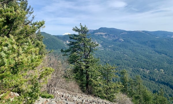
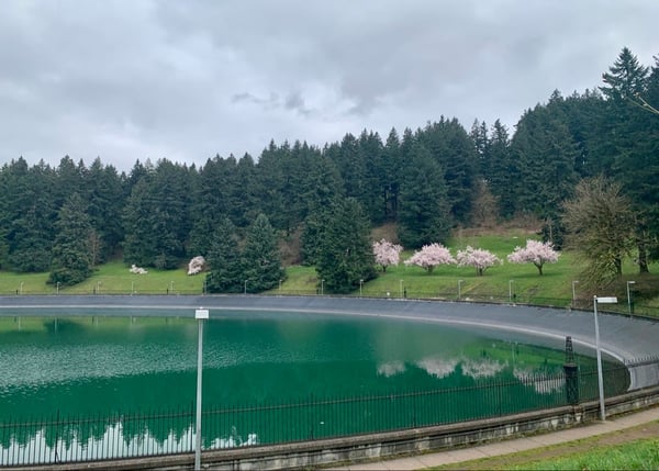
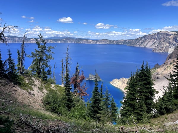
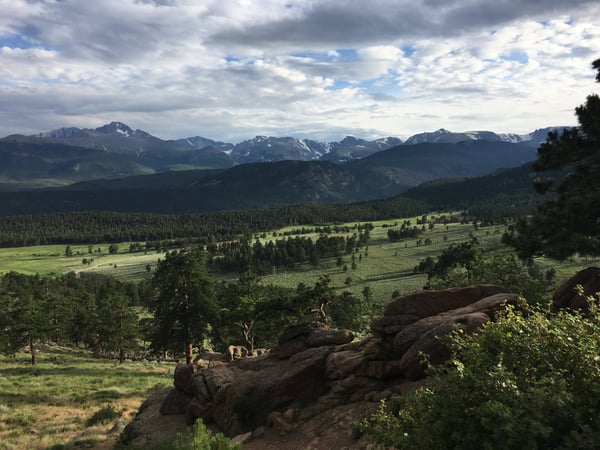
Glacier National Park on Photerra is 119 real photographs, each pinned where someone actually stood, clustered around West Glacier — the pull-off before the famous view, the trailhead bench, the bend in the road everyone stops at. No listings, no filler.
Every dot is a real photo someone took in Glacier National Park, pinned where it was taken. Get the app to open the live, tappable map.
Map tiles © OpenStreetMap contributors · OpenFreeMap · OpenMapTiles
Glacier National Park on Photerra — the quick numbers: 119 real photo-spots, mapped where they were taken · mapped by 3 travelers · most-photographed area: West Glacier (9 photos) · newest spot added July 2026.
Across Glacier National Park
119 photo spots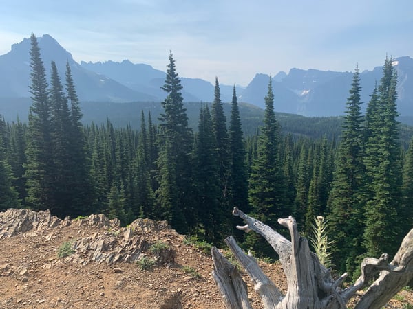
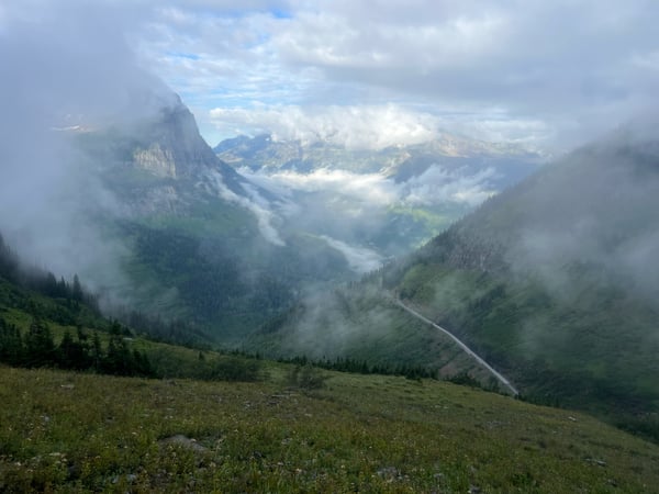
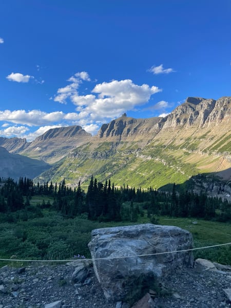
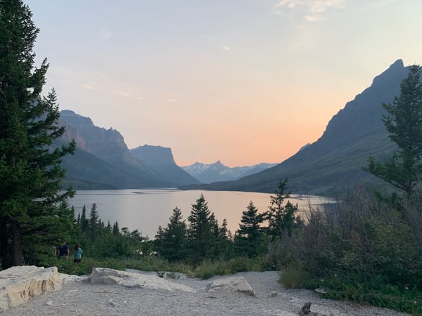
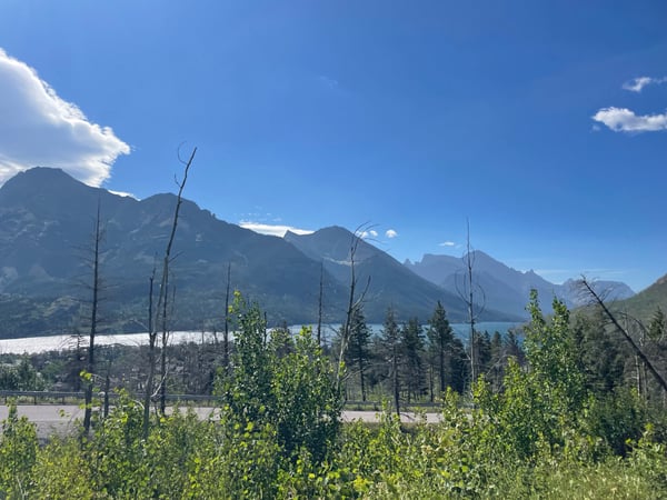
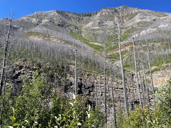
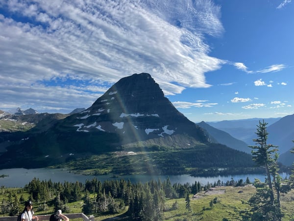
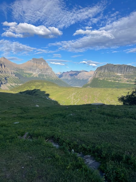
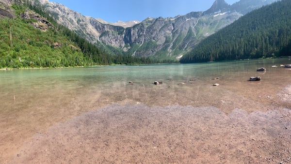

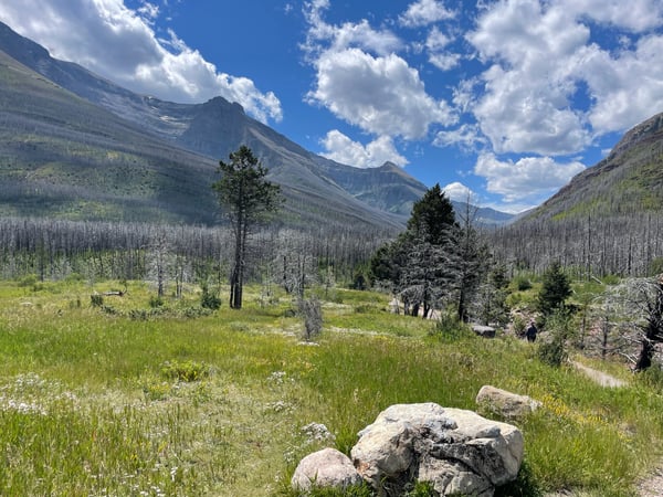
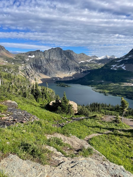
Highly reccomend! Make sure to park at the Logan Pass Visitor Center and take the free shuttle back from the bottom of the Loop Trailhead.
— Dan
Photo descriptions are written by a model from the photograph itself; the place names and coordinates are not.
Landmarks on the map in Glacier National Park.
From the landmarks everyone knows to the corners nobody thought to list — real places, each with the photograph someone actually took — contributed by travellers and by the openly-licensed archive, and growing as more are added.
Coordinates are about where the photograph was taken — the medoid of this place’s pins, at 4 decimals (~11 m). Approximate by design, and not an official gazetteer position.
Plus 107+ more spots across Glacier National Park — see every pin on the live map in the app, or browse all destinations.
Glacier National Park spots, the quick version.
How many spots does Photerra have in Glacier National Park?
119 and counting — each one a real photograph, pinned about where it was taken. The map grows as people add to it and as the open archive is reviewed in.
Are these Glacier National Park spots on Google Maps?
Many aren't. Photerra's spots are photo-coordinates — viewpoints, benches, trailheads and corners with no business listing or address — so they don't show up on maps built from business directories.
How do I get to a spot with no address?
Open any spot in the Photerra app and tap once to launch Apple Maps, Google Maps, Uber or Lyft — we hand them the coordinates even when the place has no name.
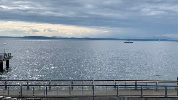
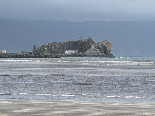
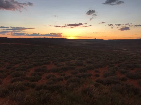
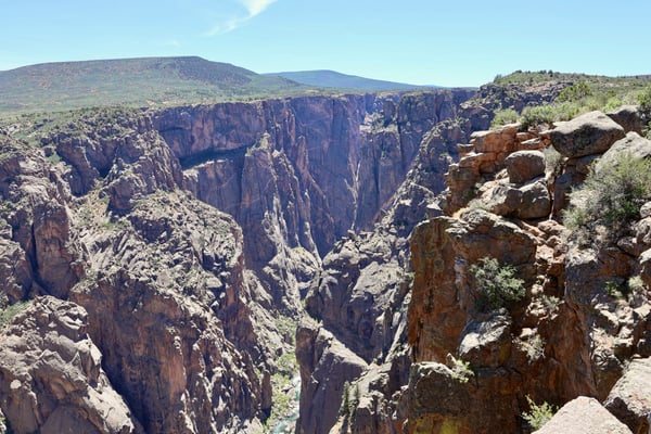
Get the Glacier National Park map in your pocket.
Free on iOS and Android. Browse every spot, filter by time of day — including golden hour — and let the AI build a day-by-day trip around the ones you like.
Live in Glacier National Park? Your camera roll is already a map — become one of its founding mappers.