
Photo spots in Center City, Philadelphia.
Every pin in Center City is a real photograph, pinned about where it was taken — not a business listing, not a scraped review. 112 spots in this Philadelphia neighbourhood: the corners, viewpoints and streets people photograph but guidebooks miss.
Every dot is a real photo someone took in Center City, pinned where it was taken. Get the app to open the live, tappable map.
Map tiles © OpenStreetMap contributors · OpenFreeMap · OpenMapTiles
Photo spots in Center City
112 photo spots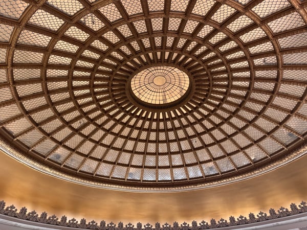
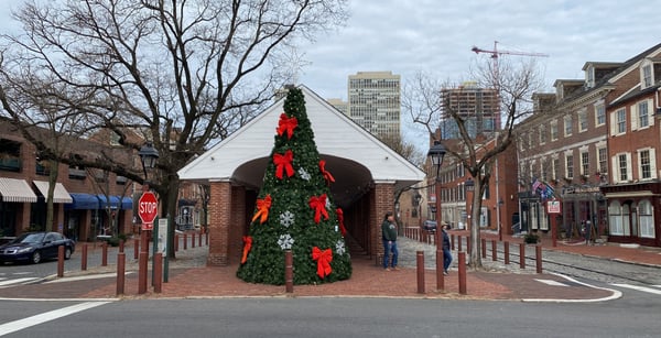
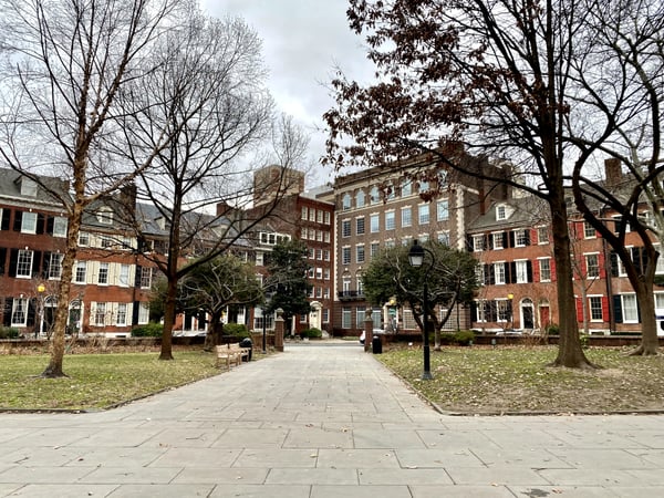
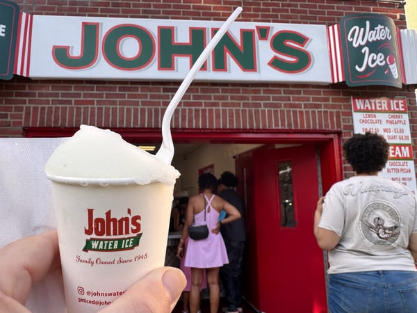
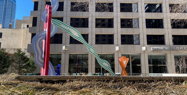
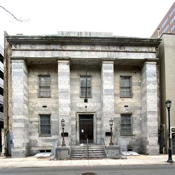
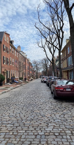
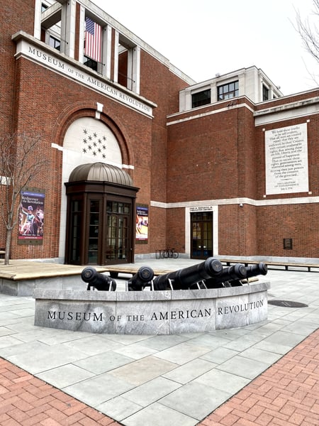
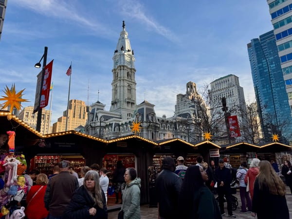
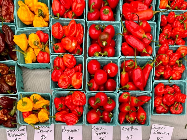
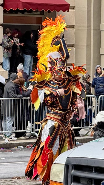
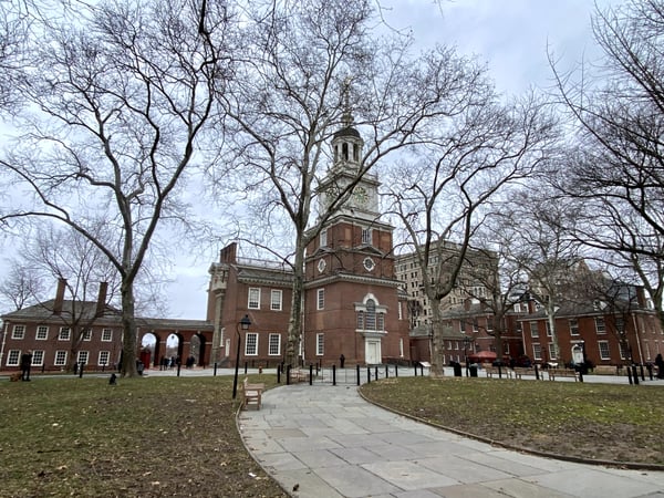
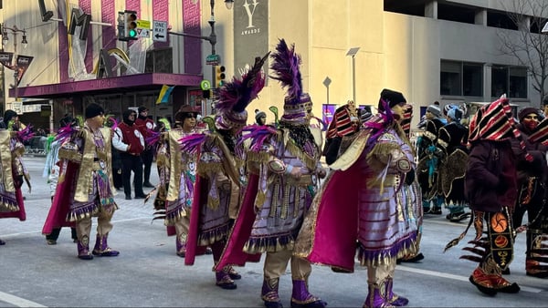
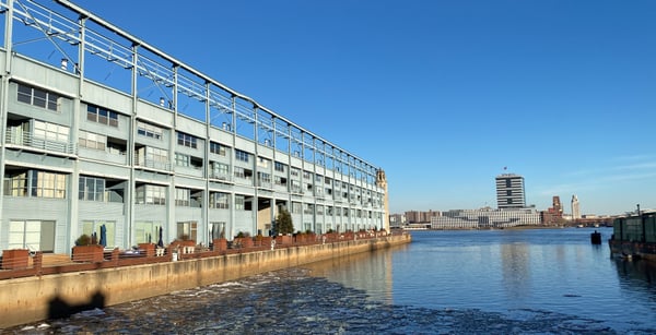
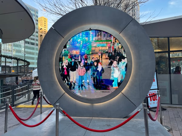
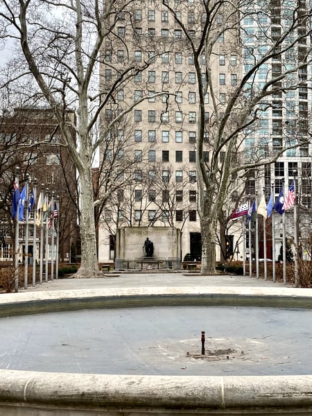
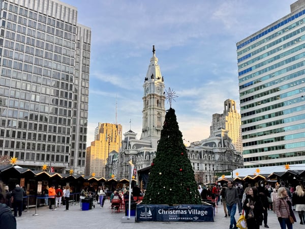
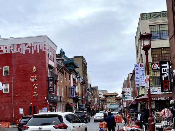
Photo descriptions are written by a model from the photograph itself; the place names and coordinates are not.
The head house is a national historic landmark, one of the oldest colonial markets in America. Built in 1745, the covered colonnade marketplace was called “the shambles“. At the north end, a three-story fire house known as “the Head House“ was built in 1805. It’s located at the south end of society hill near South Street. On Sundays, there’s a year-round farmers market. Other events are sometimes held, and some of the restaurants on the west side sometimes use the space for outdoor dining
— VirtualTikiTom
The Atwater Kent Museum was the museum of the city of Philadelphia. Sadly, throughout the museum’s history the city never committed the funding needed. At best it was not well curated and did not tell a cohesive story. A couple of years ago the court approved sale of all the museums property to Drexel University. This property is closed off and seemjngly abandoned now. A little known fact is that this building was the original home to the Franklin Institute.
— VirtualTikiTom
Landmarks on the map in Center City.
Real places pinned in Center City, each with the photograph someone actually took — contributed by travellers and by the openly-licensed archive, and growing as more are added.
Coordinates are about where the photograph was taken — the medoid of this place’s pins, at 4 decimals (~11 m). Approximate by design, and not an official gazetteer position.
See every Center City pin on the live map in the app, or explore all of Philadelphia.
Center City spots, the quick version.
How many photo spots are in Center City?
112 and counting — each a real photograph, pinned about where it was taken in Center City, Philadelphia. The map grows as people add to it and as the open archive is reviewed in.
Are these Center City spots on Google Maps?
Many aren't. They're photo-coordinates — viewpoints, stairways and corners with no business listing — so they don't show up on maps built from business directories.
How do I get to a spot with no address?
Open any spot in the Photerra app and tap once to launch Apple Maps, Google Maps, Uber or Lyft — we hand them the coordinates even when the place has no name.
More Philadelphia neighbourhoods
Get the Center City map in your pocket.
Free on iOS and Android. Browse every spot, filter by time of day — including golden hour — and let the AI build a day-by-day trip around the ones you like.