
Spots in Mexico City, photographed by the people who stood there.
Every pin in Mexico City is a real photograph, pinned about where it was taken, clustered around Centro, Rome and Condesa — not a business listing, not a scraped review. 149 spots so far, and the kind of corners, viewpoints, and streets people photograph but guidebooks miss.
Every dot is a real photo someone took in Mexico City, pinned where it was taken. Get the app to open the live, tappable map.
Map tiles © OpenStreetMap contributors · OpenFreeMap · OpenMapTiles
Mexico City on Photerra — the quick numbers: 149 real photo-spots, mapped where they were taken · mapped by 6 travelers · most-photographed area: Centro (22 photos) · newest spot added June 2026.
Centro
22 photo spots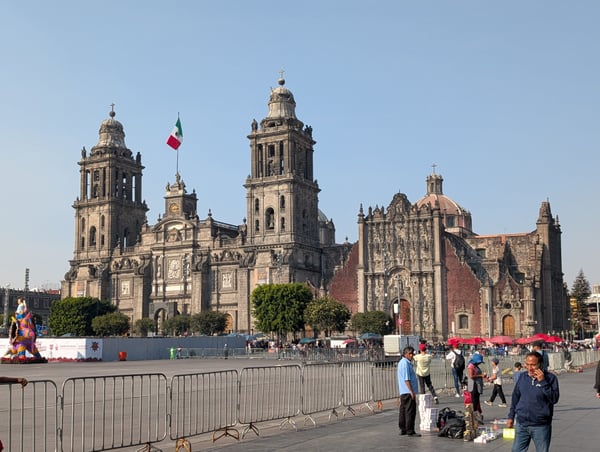
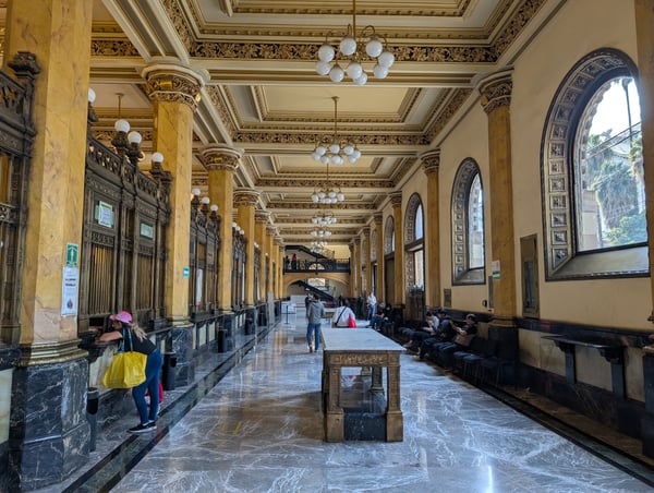
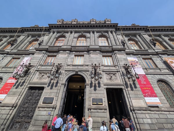
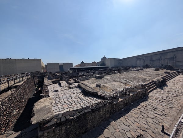
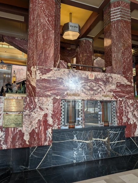
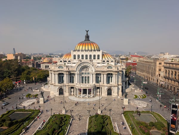
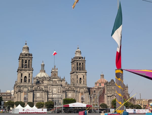
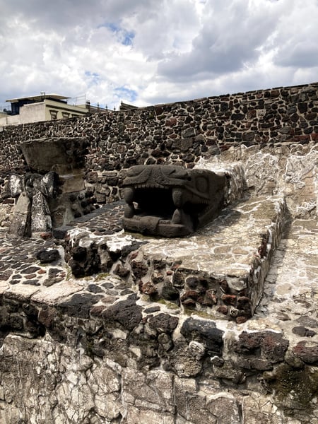
The national palace became the presidential residence in 2018. It is massive. Incredible building that runs the whole length of the Plaza de Constitución. The cathedral has its own insane history - because of how the plaza is sinking, the cathedral has a definite lean on one side. To top it all off, everything is built on top of ancient Aztec ruins!
— Bryce
Mezcal boat tour, museums, architecture and great food
— David
Photo descriptions are written by a model from the photograph itself; the place names and coordinates are not.
Rome
26 photo spots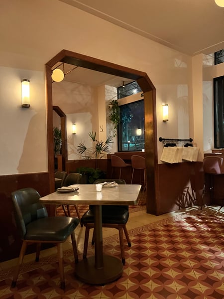
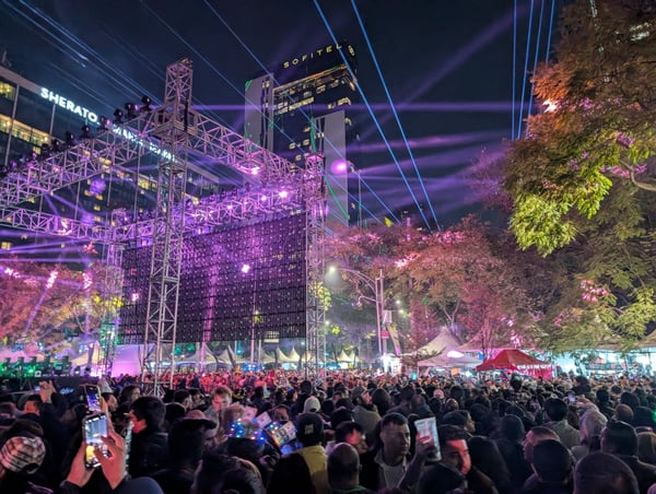
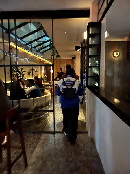
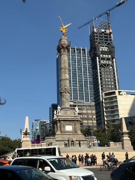
One of the most popular places to enjoy NYE in CDMX. Definitely worth checking out!
— Bryce
Photo descriptions are written by a model from the photograph itself; the place names and coordinates are not.
Condesa
21 photo spots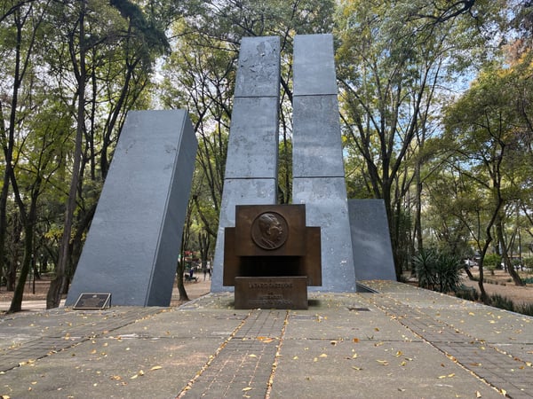
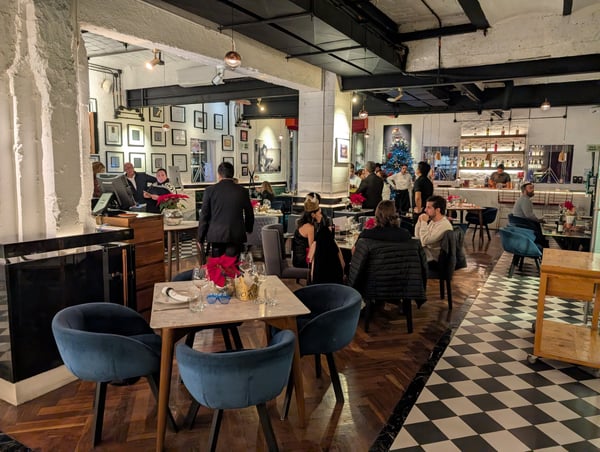
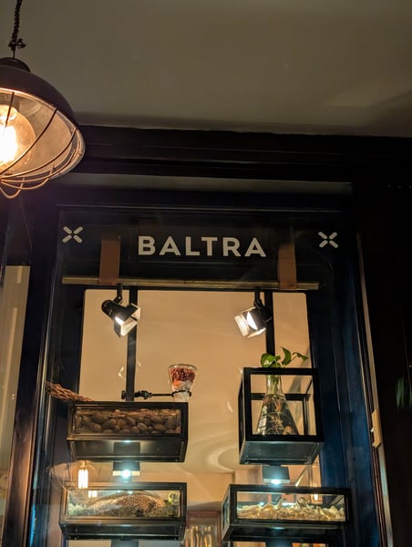
Italian Restaurant with a pretty solid food offering. We were here during NYE so the menu was prix fixe, so I can't speak about standard offerings. The food we had was great tho - I'd say a mix between really good and decent dishes. The highlight was a carpaccio, it was incredible in every way.
— Bryce
Photo descriptions are written by a model from the photograph itself; the place names and coordinates are not.
Polanco
15 photo spots
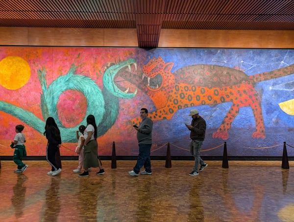
These acrobatic flyers put on a show at some cadence, not really sure what it is. Maybe once an hour or so. It takes them about 10 minutes to actually start once the begin climbing, so save your neck and wait for the fifth guy to climb as your signal. Really cool and very mesmerizing
— Bryce
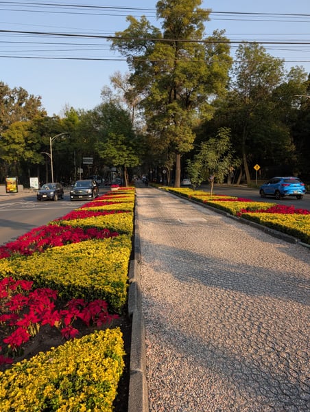
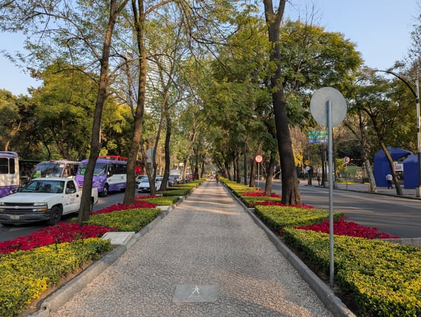
This walking and bike path was lined with beautiful flowers for the Navidad. It's a great place to walk, as the sidewalks on either side of the street are pretty warn down. At any point you can peel off into the Bosque Chapultepec or north to Polanco.
— Bryce
Photo descriptions are written by a model from the photograph itself; the place names and coordinates are not.
San Miguel Chapultepec
30 photo spots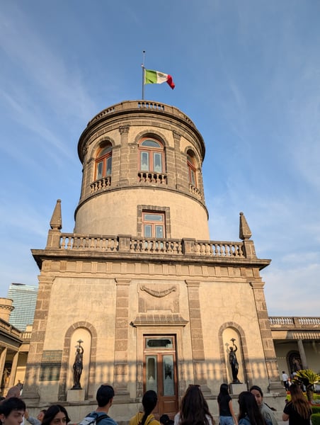
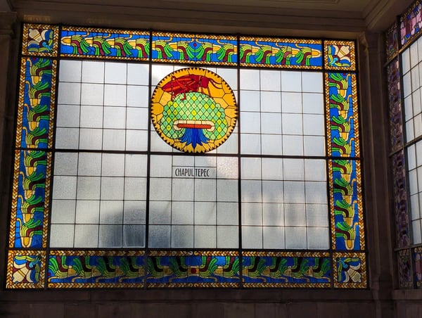
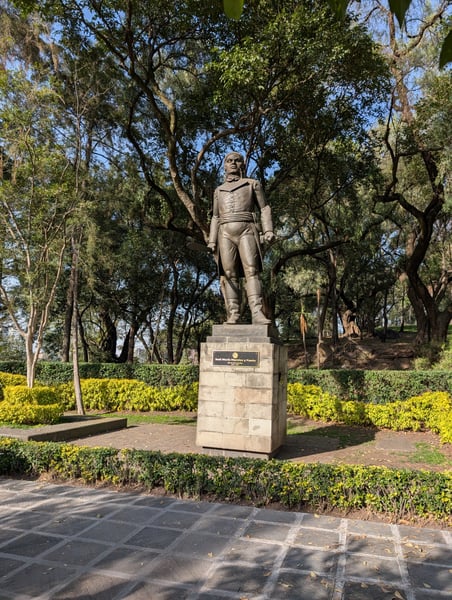
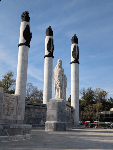
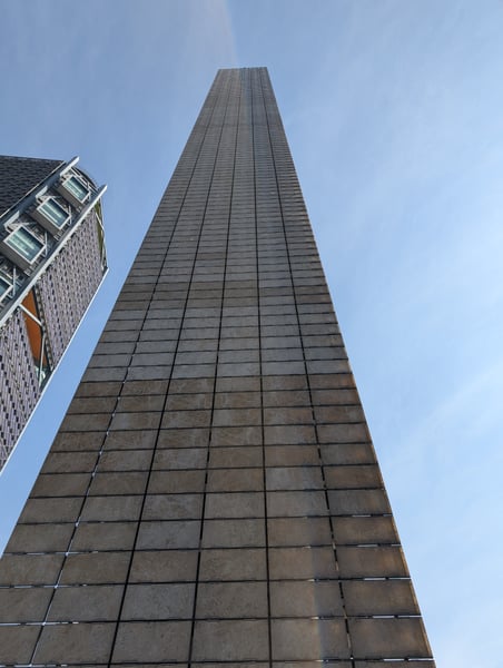
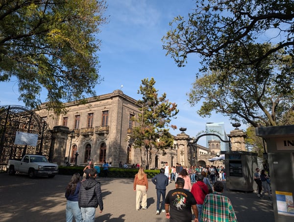
There's some cool history to this place. Beautiful building, great for a walk - I didn't care so much for the collection of rooms on display, but you can still read a lot about the castle and enjoy the sights. Be prepared for crowds.
— Bryce
Esquite is the cup of corn, mayo, lime, etc. Of course you can find them all over the city. We walked from the Estela de Luz West towards the Castillo, making a few stops along the way.
— Bryce
Photo descriptions are written by a model from the photograph itself; the place names and coordinates are not.
Santa María Nativitas
11 photo spots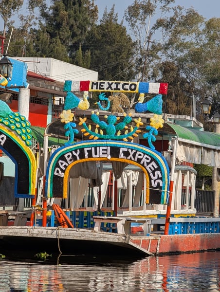
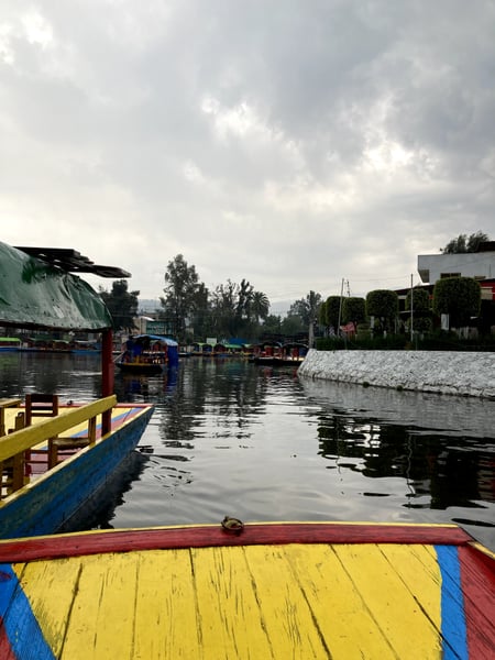
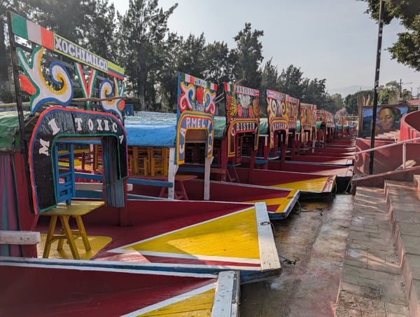
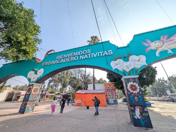
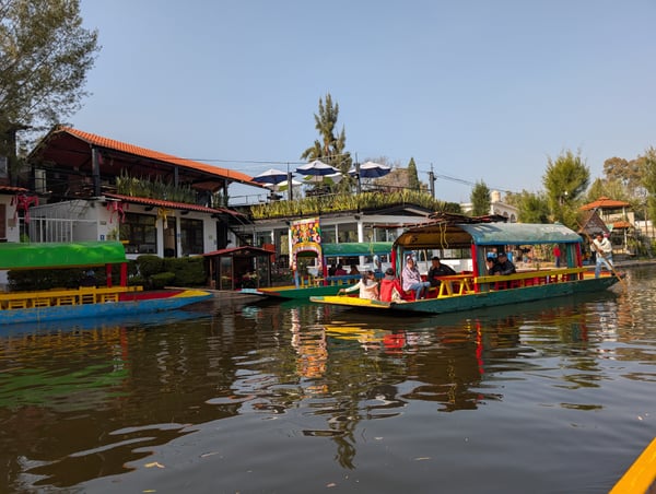
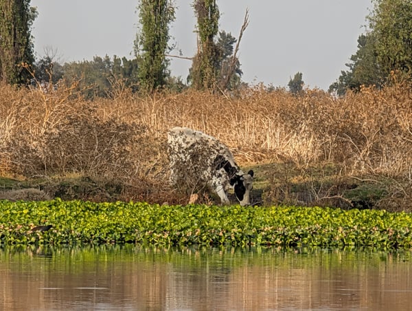
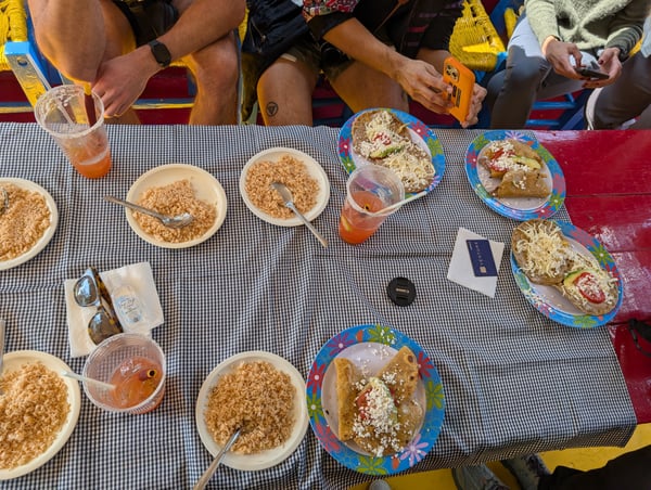
Chinampas are a huge part of how Mexico has managed to sustain itself over the centuries, and Xochimilco is the modern epicenter of the chinampas. Nowadays, you can spend an entire day taking a tour of the canals while eating, drinking, partying, or learning. Definitely try some of the vendors who are willing to tie their boat to yours and make you some food on the spot.
— Bryce
River boat and mezcal tasting in Mexico City. A little rainy but we didn’t mind
— David
Photo descriptions are written by a model from the photograph itself; the place names and coordinates are not.
Across Mexico City
57 photo spots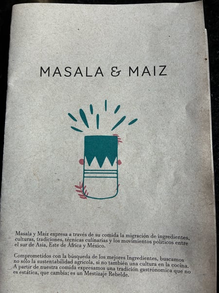
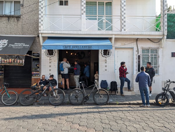
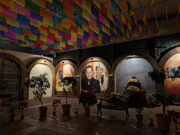
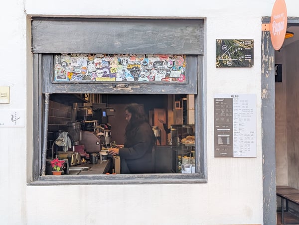
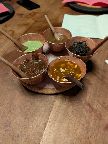
This is one of the classic Mexican gems that needs to be tried before leaving. It's not super touristy, and a lot of locals dine here. My best recommendation is to get some barbacoa and carnitas for the table, which you can order separately or by the kilo (!), and sit back to listen to the mariachis. Would also recommend the pulque and the café de olla. This place is massive, they have many different rating areas and even a bull fighting pit, which I don't know what they use for today. Definitely worth a visit!
— Bryce
Try some traditional Mexican dishes here! We tried the Taquitos de la tierra, the cauliflower y queso, and the huitlacoche. Some of these foods were not for everyone, but top it off with some good drinks and you're good to go! They also had delicious staples like the barbacoa.
— Bryce
Photo descriptions are written by a model from the photograph itself; the place names and coordinates are not.
Landmarks on the map in Mexico City.
From the landmarks everyone knows to the corners nobody thought to list — real places, each with the photograph someone actually took — contributed by travellers and by the openly-licensed archive, and growing as more are added.
Coordinates are about where the photograph was taken — the medoid of this place’s pins, at 4 decimals (~11 m). Approximate by design, and not an official gazetteer position.
Plus 103+ more spots across Mexico City — see every pin on the live map in the app, or browse all destinations.
Mexico City spots, the quick version.
How many spots does Photerra have in Mexico City?
149 and counting — each one a real photograph, pinned about where it was taken. The map grows as people add to it and as the open archive is reviewed in.
Are these Mexico City spots on Google Maps?
Many aren't. Photerra's spots are photo-coordinates — viewpoints, benches, trailheads and corners with no business listing or address — so they don't show up on maps built from business directories.
How do I get to a spot with no address?
Open any spot in the Photerra app and tap once to launch Apple Maps, Google Maps, Uber or Lyft — we hand them the coordinates even when the place has no name.
Get the Mexico City map in your pocket.
Free on iOS and Android. Browse every spot, filter by time of day — including golden hour — and let the AI build a day-by-day trip around the ones you like.
Live in Mexico City? Your camera roll is already a map — become one of its founding mappers.