Spots in Yosemite & Mammoth Lakes no other map has.
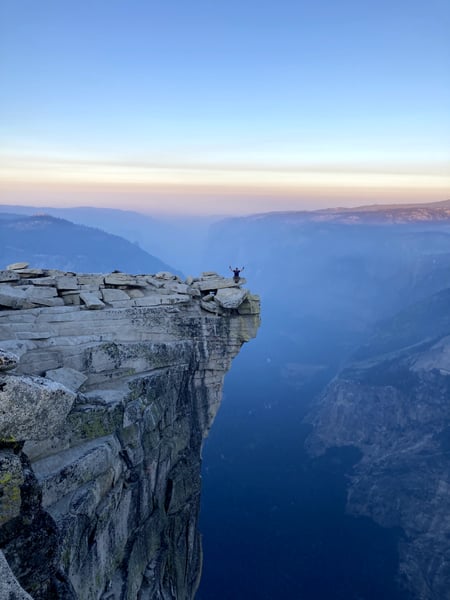
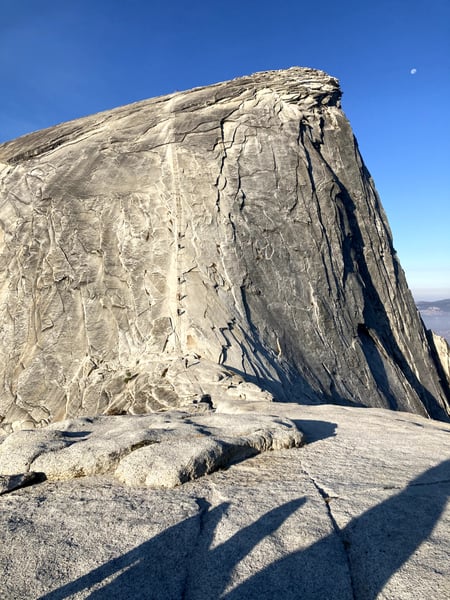
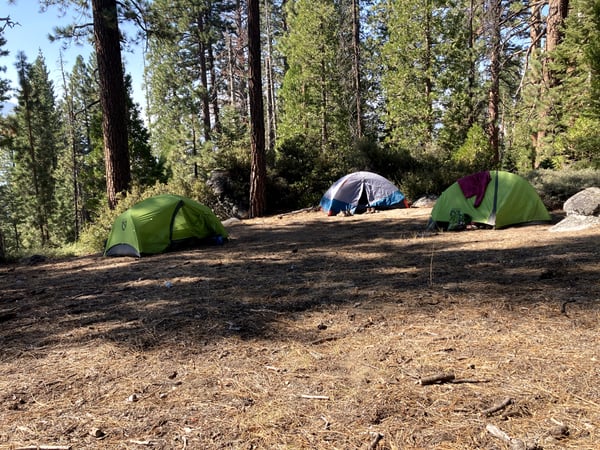
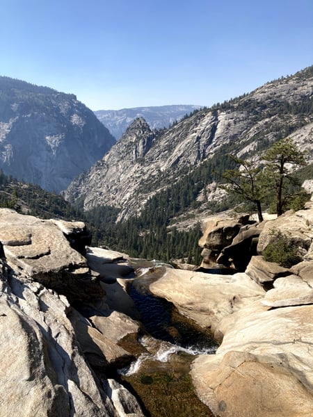
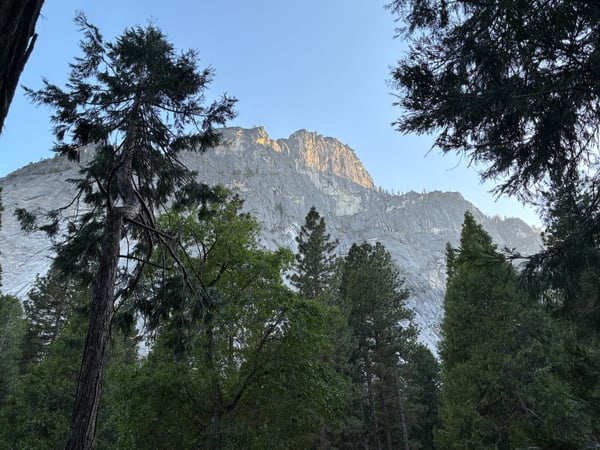
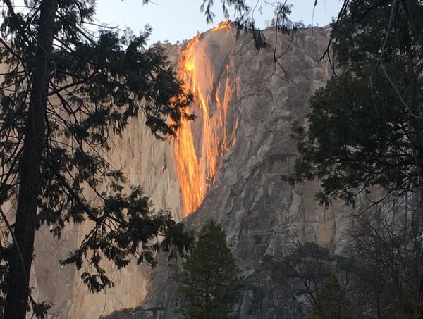
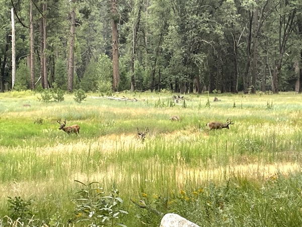
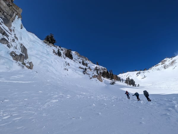
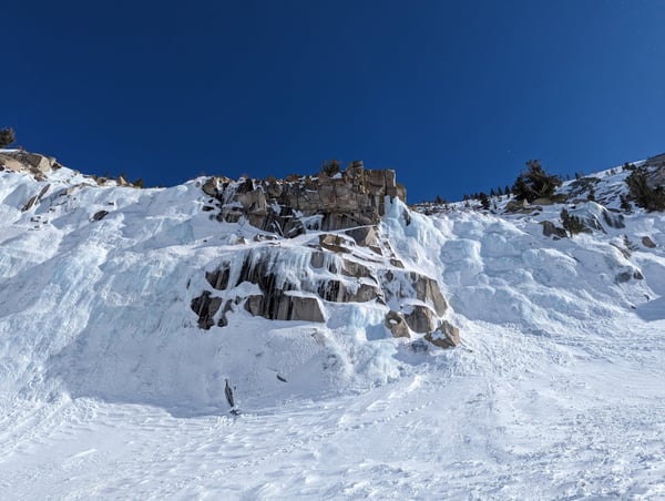
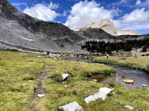
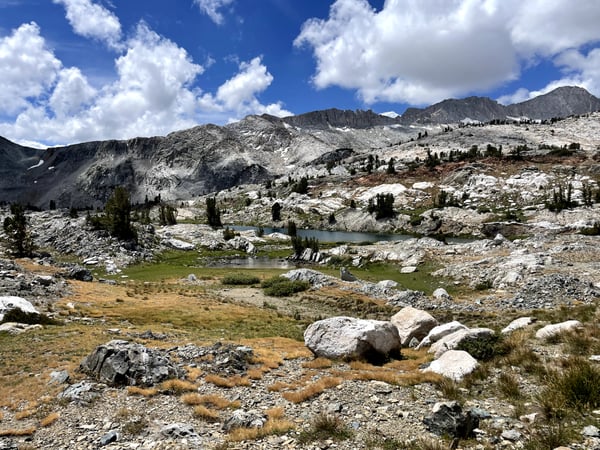
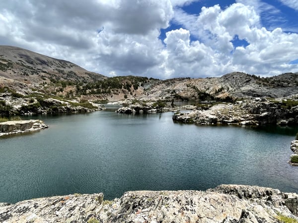
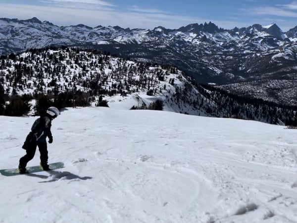
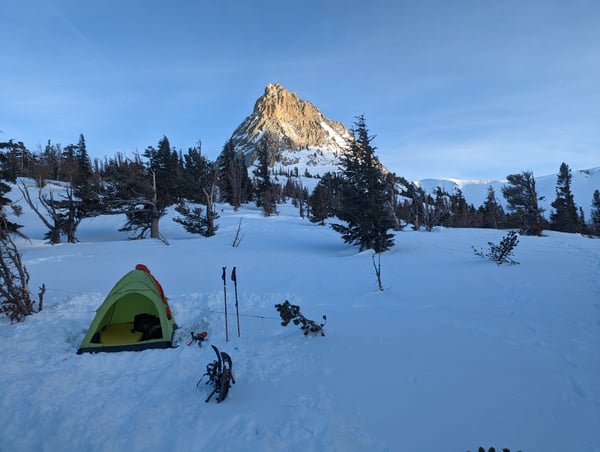
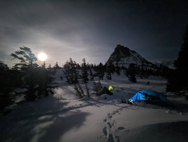
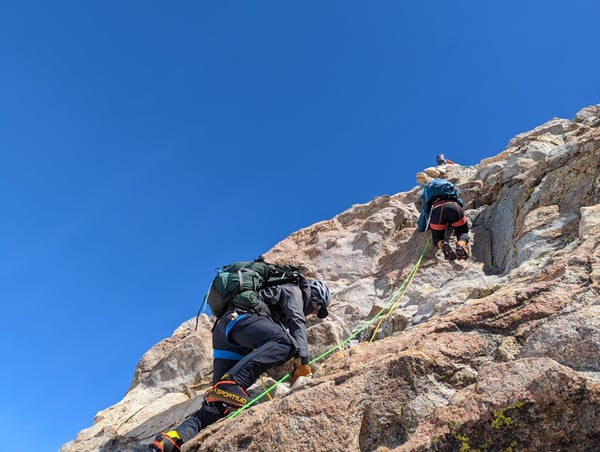
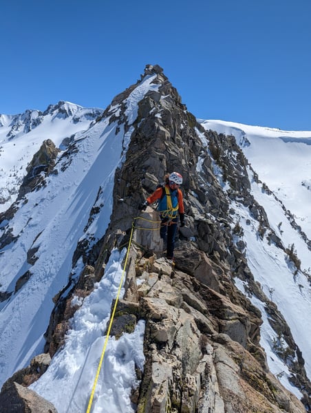
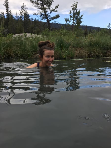
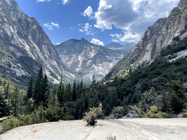
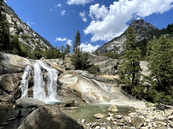
In Yosemite & Mammoth Lakes, the map is overlooks, trailheads, and pull-offs — 30 real photos pinned to the exact spots travelers stopped, clustered around Mariposa County, Mono County and Mammoth Lakes. Not business listings, not a recycled top-10: just where people actually pointed a camera.
Mariposa County
17 spots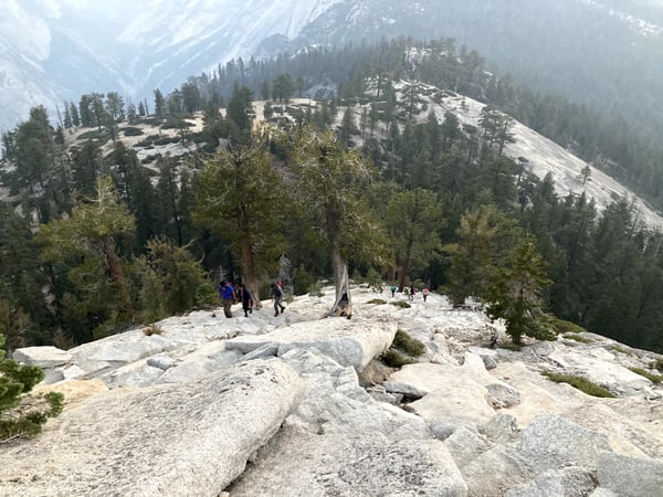
Mono County
14 spots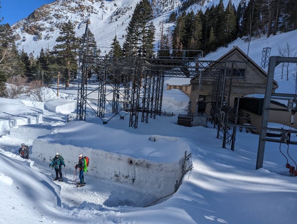
Mammoth Lakes
9 spots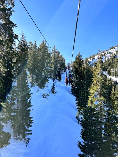
Bishop
4 spots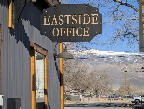
Fresno County
4 spots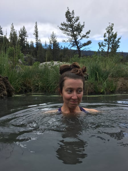
see every pin on the live map in the app, or browse all destinations.
Yosemite & Mammoth Lakes spots, the quick version.
How many spots does Photerra have in Yosemite & Mammoth Lakes?
30 and counting — each one a real photo pinned to the exact coordinate it was taken. New spots appear as travelers share them.
Are these Yosemite & Mammoth Lakes spots on Google Maps?
Many aren't. Photerra's spots are photo-coordinates — viewpoints, benches, trailheads and corners with no business listing or address — so they don't show up on maps built from business directories.
How do I get to a spot with no address?
Open any spot in the Photerra app and tap once to launch Apple Maps, Google Maps, Uber or Lyft — we hand them the exact coordinates even when the place has no name.
More places on Photerra
Get the Yosemite & Mammoth Lakes map in your pocket.
Free on iOS and Android. Browse every spot, save the ones you like, and build a trip around them.