
Gunnison Point, Black Canyon of the Gunnison.
Gunnison Point is a photo spot in Black Canyon of the Gunnison, United States: 6 photographs on Photerra, each pinned about where it was taken, around 38.5555, -107.6869. Most were shot in the midday.
Where to stand
38.5555, -107.6869Coordinates are about where the photograph was taken — the medoid of this place’s pins, at 4 decimals (~11 m). Approximate by design, and not an official gazetteer position.
When people shoot it
Of 6 photographs with a capture time, 6 in the midday (the camera's local clock).
- 6 midday
Most of the dated photographs were taken in Jun.
From the 6 dated photographs people added in the app, on the camera's own clock. Archive photography is not counted here.Every dot is a photograph of Gunnison Point, pinned about where it was taken. Get the app to open the live, tappable map.
Map tiles © OpenStreetMap contributors · OpenFreeMap · OpenMapTiles
Photographs of Gunnison Point
6 photos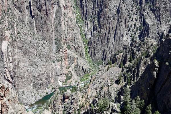
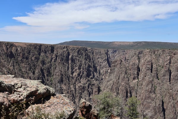
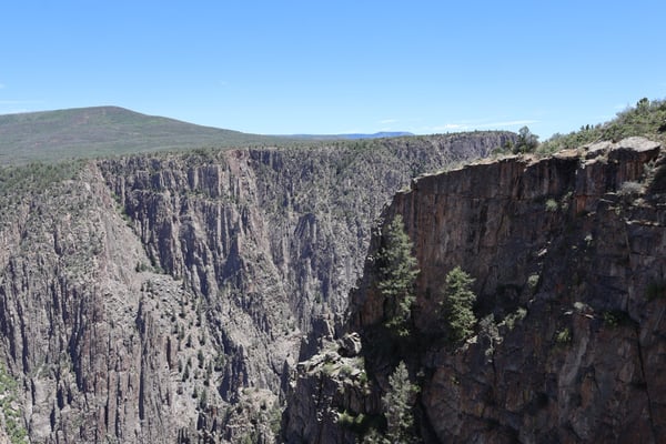
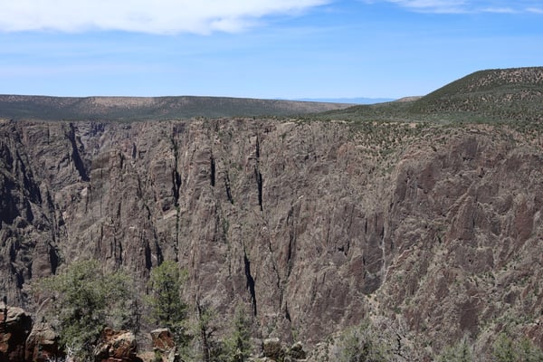
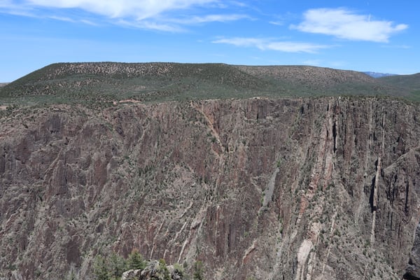
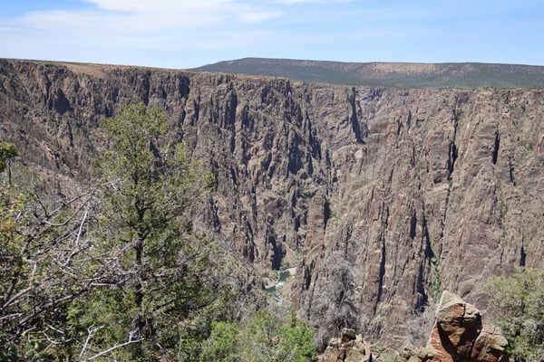
Photo descriptions are written by a model from the photograph itself; the place names and coordinates are not.
Gunnison Point, the quick version.
Where do you stand to photograph Gunnison Point?
About 38.5555, -107.6869 — the medoid of the pins on this page, at 4 decimals (~11 m). It is where the photographs were taken, not an official gazetteer position, and it is approximate by design.
When is the best time to photograph Gunnison Point?
Of 6 photographs with a capture time, 6 in the midday (the camera's local clock). Most of the dated photographs were taken in Jun. The app filters every spot by time of day, including golden hour.
How do I get to Gunnison Point?
Open the spot in the Photerra app and tap once to launch Apple Maps, Google Maps, Uber or Lyft with the coordinates — or use the map links above.
Near Gunnison Point
Get Gunnison Point in your pocket.
Free on iOS and Android. Open the spot, hand the coordinates to your maps app, and filter every spot by time of day — including golden hour.